|
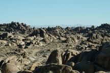
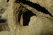
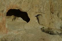
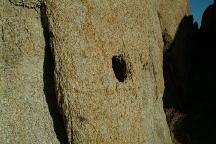
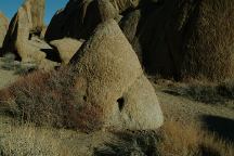
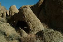
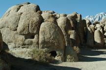
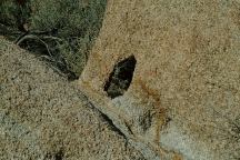
City of Arches is about 100 yards in length
with a dozen or more minor sized arches.
There is nothing spectacular about each
individual arch, but so many in one area
is interesting.
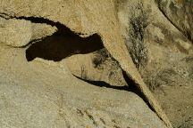
City of Arches
City of Arches
City of Arches
City of Arches
City of Arches
City of Arches
City of Arches
City of Arches
City of Arches
PHOTO HERE
N 36°36.231
W 118°07.131
Lone Ranger Canyon. This is this spot where
a group of Rangers were ambushed by outlaws,
and only one survived... "The Lone Ranger"
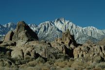
View from Brena Arch looking west
towards Sierra Nevada Mountains
It is common to see film crews in this area.
Countless movies and commercials have
been shot at this location.
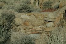
N 36°36.111
W 118°07.101
Stone wall across the road from Brena Arch
This is where the tank rolled over the wall
from the 1938 film "Army Girl"
PHOTO HERE
N 36°36.106
W 118°07.080
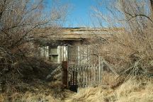
This is the location of John Wayne's boyhood
home in "King of the Pecos" filmed in 1936
(About 100 feet south from Brena Arch)
PHOTO HERE
N 36°36.237
W 118°07.022
Gene Autry Rock is just a short walk.
Several movies have been filmed at this location...
It could have been called John Wayne, Errol Flynn,
or Roy Rogers Rock. This cucumber shaped rock
can be seen in "Boots and Saddles", "Lives of a
Bengal Lancer", "How the West Was Won", and
"Guns of Hate".
ROCK FORMATIONS and LANDMARKS
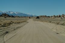
Landmarks to help locate City of Arches...
Lone Ranger Canyon east from The Lone
Ranger Ambush Site.
DIRECTIONS:
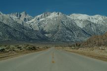
From Lone Pine, CA / Hwy.395
(At the only stop light in town)
Turn west on Whitney Portal Road
In 2 1/2 miles turn on Movie Road
Take Movie Flat Road .7 mile
Turn right and Lone Ranger Canyon
is about 100 yards on the left.
ROAD CONDITIONS
Whitney Portal Road is paved.
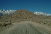
Movie Flat Road is a maintained
dirt surface with washboards.
MAP
Map of Alabama Hills Arches
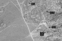
Satellite Image of City of Arches
MEASUREMENTS OF ARCH:
Arches measured at the smallest opening
PHOTO HERE
Detailed Measurements for City of Arches
Grid measurements available in future release
|


