|
FORTRESS OF ARCHES
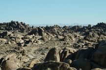
There are over 20 natural arches located
within the Fortress of Arches. West from
the Face Rock on Whitney Portal Road.
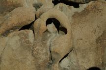
Bottom Arch (Fortress of Arches)
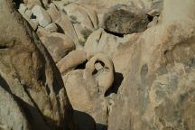
Bottom Arch (Fortress of Arches)
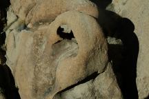
Bottom Arch (Fortress of Arches)
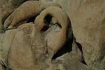
Bottom Arch (Fortress of Arches)
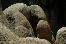
Bottom Arch viewed from the back
ROCK FORMATIONS and LANDMARKS
Landmarks to help locate Bottom Arch...
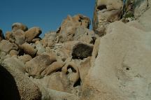
Bottom Arch
(Arch 7116 is above Bottom Arch)
DIRECTIONS:
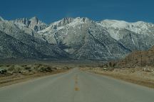
From Lone Pine, CA / Hwy.395
(At the only stop light in town)
Turn west on Whitney Portal Road
About 2 miles park opposite Face Rock.
Find a trail across Lone Pine Creek
Walk eastbound and follow trail
Before the barbwire fence find a trail south
Fortress of Arches other side of the summit
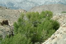
From the parking area, you have to find
a path across Lone Pine Creek. Then walk
eastbound ...
Fortress of Arches can be accessed just west
from Indian Head Arch. There is a narrow slot
canyon. Most of the trails down into the Fortress
of Arches are difficult to locate.
ROAD CONDITIONS
Whitney Portal Road is paved.
Movie Flat Road is a maintained
dirt surface with washboards.
MAP
Map of Alabama Hills Arches
PHOTO HERE
Satellite Image of Bottom Arch
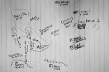
Fortress of Arches
MEASUREMENTS OF ARCH:
Arches measured at the smallest opening
PHOTO HERE (MEASUREMENTS)
Detailed Measurements for Bottom Arch
Grid measurements available in future release
|


