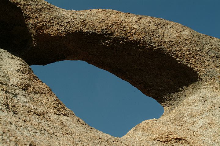
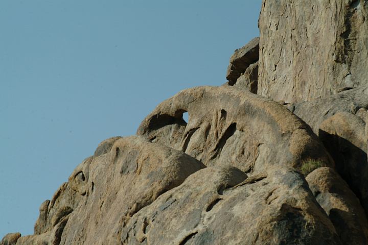
ARCHES OF ALABAMA HILLS
ALABAMA HILLS RECREATION AREA
California Tourist Guide and Destinations
"AVERY ARCH"

UTM COORDINATES:
UTM Coordinates is official name of arch
LATITUDE: N 36°36.160
LONGITUDE: W 118°06.310
ACCURACY: 19'
ELEVATION:
DIMENSIONS: 3'8"W x 2'H
See detailed measurements below

Avery Arch
Avery Arch

Avery Arch
Avery Arch

Avery Arch
Avery Arch

Avery Arch
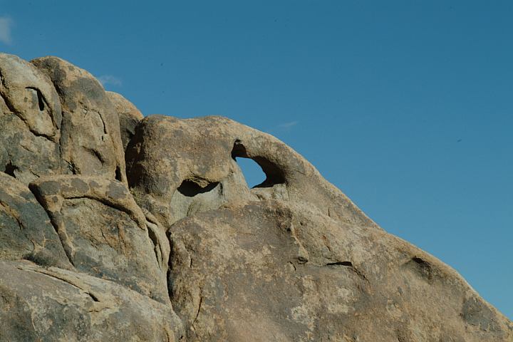
Avery Arch in the Distance

Avery Arch
Avery Arch

Avery Arch
Avery Arch

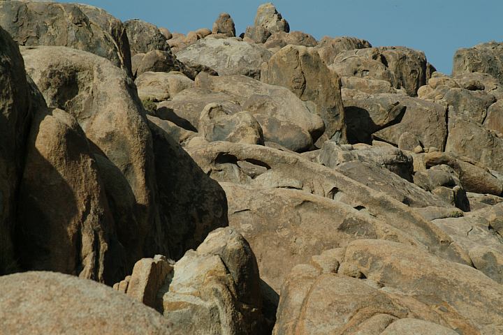
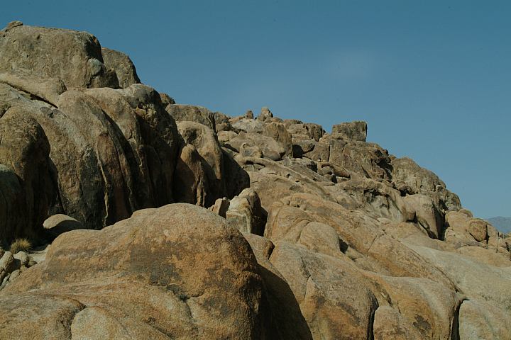
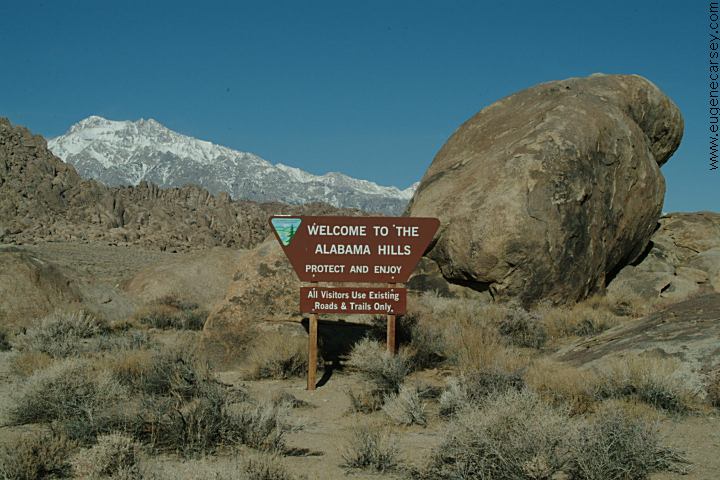
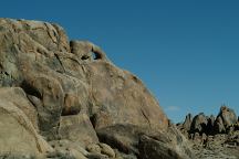
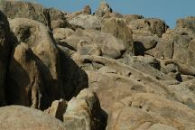
ROCK FORMATIONS and LANDMARKS
Landmarks to help locate Avery Arch...
East from the Three Surfers Arches.

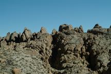
Views from Avery Arch

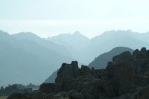
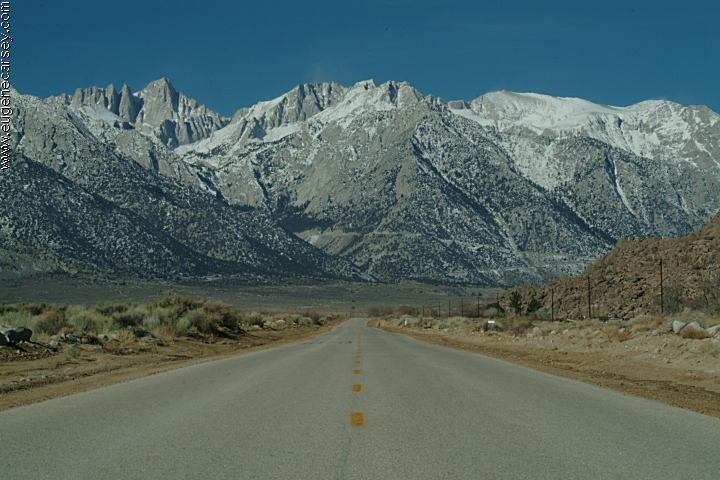
Sunset views of Mount Whitney

DIRECTIONS:
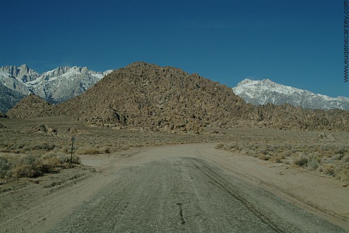
From Lone Pine, CA / Hwy.395
(At the only stop light in town)
Turn west on Whitney Portal Road
In 2 1/2 miles turn on Movie Road
Go 0.2 mile on Movie Road
(There is a little stretch of pavement)
Turn right and maneuver your way east
A right, then a left, then a right...
Go north down the wash
(The wash is about a 30' drop)
Stay left at bottom of wash
About a hundred yards park at the
little junction. Surfer archers are
in the rocks to the right. Avery Arch
is behind them in the rocks.

There are several good arches near
this location. The Hitching Post, ect....
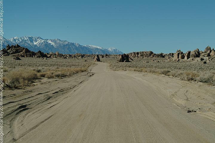
ROAD CONDITIONS
Whitney Portal Road is paved.
Movie Flat Road is a maintained
dirt surface with washboards.
When traveling on the spur roads,
caution should be taken and use your
best judgment concerning limits of
the vehicle.

Best photos in the afternoon.

MAP
Map of Alabama Hills Arches
  

PHOTO HERE
Satellite Image of Avery Arch

MEASUREMENTS OF ARCH:
Arches measured at the smallest opening

PHOTO HERE (MEASUREMENTS)
Detailed Measurements for Avery Arch
Grid measurements available in future release

ARCHES OF ALABAMA HILLS
There are hundreds of natural arches throughout
Alabama Hills Recreation Area.
The best way to
find arches is by walking around the rock formations.
The arches blend in with the surrounding rocks.

Alabama Hills Recreation Area

Alabama Hills were named in the 1860's during
the Civil War by Southern sympathizers in honor
of the Confederate warship CSS Alabama. The
Alabama Hills Recreation Area was dedicated
in 1969 by Bureau of Land Management and
encompasses almost 30,000 acres.

MOVIES FILMED IN ALABAMA HILLS
Several movies have been filmed in this area,
including Gunga Din, The Lone Ranger, ect...

MOVIE LOCATIONS IN ALABAMA HILLS
Locations of movies filmed in the Alabama Hills.
Locations have been matched with images from
the movie. Directions to help find the locations.
Included are GPS coordinates and satellite photos.

INDIAN GRINDING STONES AND MORTARS
You can find several Indian Mortars in the Alabama
Hills and surrounding area.

Whitney Portal Road
Whitney Portal Road

Alabama Hills Recreation Area
Sign at Alabama Hills Recreation Area

Movie Flat Road
Movie Flat Road

Movie Flat Road
Movie Flat Road

MORE PHOTOS OF ALABAMA HILLS
Photos included on the free campground
directory for Alabama Hills Recreation Area.

DEATH VALLEY NATIONAL PARK
Photos and information about Death Valley.
Includes free Campground Directory.
Death Valley National Park is about
50 miles east from Lone Pine, CA

Old house in Keeler California
Old house in Keeler, CA

KEELER, CALIFORNIA
Photos from Keeler.
Located on Hwy.136
13 miles east from Lone Pine, CA
What a bizarre town... a complete subculture.
Included under the listing for Ghost Towns.

TOURIST PHOTOS

CAMPGROUNDS IN THE USA
Free campgrounds in the USA

ARCHES OF ALABAMA HILLS

Flowers at Alabama Hills
Flowers at Alabama Hills Recreation Area
March 10, 2007

WILDFLOWERS OF ALABAMA HILLS
A photo collection of wildflowers from
the Alabama Hills Recreation Area.

Copyright Notice
www.eugenecarsey.com

California Tourist Guide and Destinations
Things to do and see in California
ALABAMA HILLS RECREATION AREA
NATURAL ARCHES AND WINDOWS
AVERY ARCH