http://www.dispersedcampgrounds.comhttp://www.eugenecarsey.com

Free campgrounds and camping
OREGON CAMPGROUND DIRECTORY
WICKIUP RESERVOIR
FS ROAD #44
DESCHUTES NATIONAL FOREST
LATITUDE: N xx°xx.xxx
LONGITUDE: xxx°xx.xxx
(GPS from primitive camp near Road#6220)
Dispersed and Primitive Camping

Road #44 is a dirt road with washboards.
about 15 miles long that connects between
Hwy.43/ Burgess Road and Wickiup Dam
as it follows along the Deschutes River, then
continues around the southern end of Wickiup
Reservoir to Hwy.46. Great camp areas along
the Deschutes River and Wickiup Reservoir.

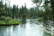
Road#44 along the Deschutes River

Between mileposts 1 - 4 are some spectacular
camp areas along the banks of the Deschutes
River. Picture perfect would be a good description.

Road#600 goes to Tenino Boat Launch.
We have seen people camped here, while
no signs, it is more of a day use area.
Road#600 continues to Road#4260

Junction of Road#900
Road#900

Road#900 leads to Road#4260 / Wickiup Reservoir.
Wide open spaces with pine trees makes for an
inspiring setting.

Distances from Jct. of Road#44 and Road#4260:

Twin Lakes
US Hwy. 97
Cascade Lakes Hwy.

8 miles
14 miles
10 miles

Between the junctions of Road#4260 and
Highway 46 / Cascade Lakes Highway
are several great campsites on the edges
of Wickiup Reservoir and Wickiup Dam.
The road is sometimes rough and narrow.

Road#090 Campsite
Wickiup Reservoir at Junction of Road#6220

Small camp at the junction of Road#6220.
There is no turnaround...

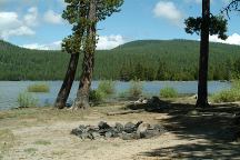
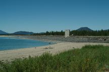
Road#630 Camp and Beach

At the Junction of Road#44 and Road#6222
turn on Road#630. This leads to a small,
but very nice camp with sandy beaches
and mountain views.

Road#44 near Jct. of Road#6230

Road#44 near Jct. of Road#6230

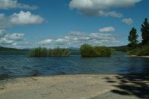
Classic camping area and campsites. Beautiful
sandy beaches and campsite on Road#44
about 1/8 mile from the junction of Road#6230

There are some camp areas at the junction of
Road#6230. Road#655 is a pull-out. There is
another unmarked road that is better.

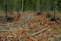
There are some burn areas that should be
avoided, due to the fragile nature of the land.

At milepost 13 is a good camp with mountain
views. Turn on Road#656.


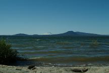
Mountain Views from Milepost 14


Campsite at Milepost 14 / Road#680

Milepost 14 is a camp with inspiring views
Turn on Road#680 to Wickiup Reservoir.
About a hundred yards off the main road.

ROAD#4260
Road#4260 follows along the edge of Wickiup
Reservoir and Wickiup Dam.

ROAD#4370
Road#4370 connects between Hwy.43 / Burgess
Road and Wickiup Dam following along the
opposite side of the Deschutes River from Road#44

Also on Highway 46 at the junction of Road#44
There are great camp areas both sides of the road.

Road#44 near Jct. of Road#6230
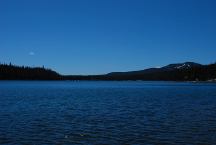
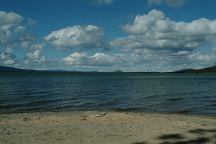
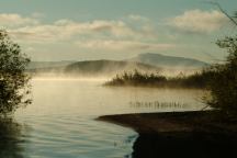
Wickiup Reservoir early in the morning

FIRE RESTRICTIONS
It is your responsibility to know what fire
restrictions are in place. Axe, shovel, and
5 gallons of water required for dispersed
camping. A fire extinguisher and pair of
leather gloves recommended.

View from Wickiup Dam
Wickiup Dam

Wickiup Reservoir(11,200-acres) was named
for the "wickiup'' poles of the shelters made
by the Indians who would camp here when
fishing and hunting. The poles would be
covered with tree limbs and brush. In 1949
when Wickiup Reservoir was filled with water
the poles were still standing.

Junction of Road#44 and Road#46

DIRECTIONS:
From LaPine, OR
Take Hwy.97 north 2 miles
Turn left at Wickiup Junction/ Burgess Road
About 7 miles turn left on Forest Road#44
(Opposite of Pringle Falls Campground)
Almost every road to the right will lead to
the Deschutes River or Wickiup Reservoir

From Cascade Lakes Highway / Road#46
Between milepost 57 - 58
Turn on Road#44

ROAD CONDITIONS:
Road #44 is a dirt road with washboards.

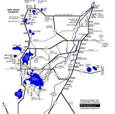
Cascade Lakes map

MAP
These are our personal hand drawn maps
Not guaranteed for accuracy

Boat Ramp at Crane Prairie Resort

Showers at Crane Prairie Reservoir Lodge
$1.25 in quarters for 3 minutes.
Showers and Laundry at Twin Lakes Lodge.

Drinking water at Rock Creek Campground
on Cascade Lakes Highway / FS Road#46
Hand pump next to the fish cleaning station
is a deep source well and the water is cool,
clean and refreshing.

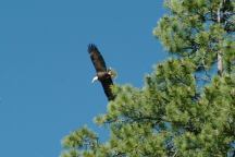
Bald Eagle at Wickiup Reservoir

We have seen several bald eagles in this area.
The biggest bald eagle we ever saw was at the
junction of Road#44 and Road#4260. He was
on the beach and when he spread his wings, it was
the most incredible sight... must of been an 8-10'
wing span as he stood tall and brave for what
seemed like an eternity.

Sitting in the car and looked out the window
to see a skunk walking through the camp. He
minded his own business and the dog was sleeping.

PHOTO HERE
20" Rainbow Trout...

Many years ago we were fishing, when an eagle
dive-bombed the water surface and caught a fish
with his claws. He flew in a big loop and dropped
the fish next to the boat. A perfect 20" rainbow trout.

Information and Interesting Facts
Cascade Lakes Hwy / Road#46
Milepost xx

Cascade Lakes Highway
Cascade Lakes Hwy / Road#46

Also see: CHRISTMAS VALLEY / GREEN MOUNTAIN
Also see:
CHRISTMAS VALLEY / SAND DUNES
Also see:
CRANE PRAIRIE RESERVOIR
Also see:
LAVA FLOW CAMPGROUND
Also see:
NEWBERRY CRATER and MONUMENT
Also see:
ROCK CREEK CAMPGROUND
Also see:
SPARKS LAKE RECREATION AREA
Also see:
WICKIUP RESERVOIR / ROAD#090
Also see:
WICKIUP RESERVOIR / ROAD#4260
Also see:
WICKIUP RESERVOIR / ROAD#4280
Also see:
WICKIUP RESERVOIR / ROAD#4370

Google Custom Map Free Oregon Campgrounds
Google Custom Map by Ian

OREGON FREE CAMPGROUND MAP
Google custom map by Ian with most of the
free campgrounds in Oregon
.

Elk Lake
Elk Lake
LATITUDE: N 43.58.815
LONGITUDE: W 121.48.325
Elevation; 4893'
Elk Lake was named by J.Roy Harvey, first
supervisor of the Deschutes National Forest.
It covers approximately 390 acres. It's maximum
depth is 75 feet and the lake has no surface outlet.
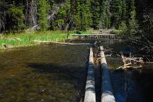
Deschutes River
Parking Area along the Deschutes River
Century Drive / MP 42
LATITUDE: N 43.51.399
LONGITUDE: W 121.47.000
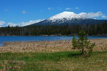
Lava Lake
Lava Lake with Mount Bachelor in the background
LATITUDE: N 43.54.920
LONGITUDE: W 121.46.090
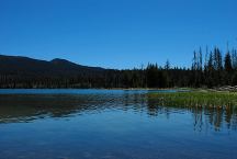
Little Lava Lake
Little Lava Lake
LATITUDE: N 43.54.635
LONGITUDE: W 121.45.710
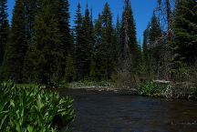
Day Use Area
Day Use Area
LATITUDE: N 43.53.005
LONGITUDE: W 121.46.112
Century Drive Day Use Area along the Deschutes River
Picnic tables, Metal Firerings
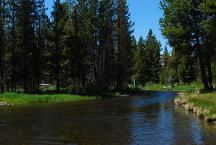
Cow Meadow and Deschutes River
Fee Area / $10
LATITUDE: N 43.48.800
LONGITUDE: W 121.46.580
Elevation: 4530'
Road 970 for 1 1/2 miles
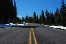
Snow
Century Drive between Sparks Lake and Mount Bachelor
Snow on ground June 7, 2010
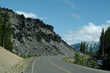
Devils Garden from Cascade Lakes Highway
(Between milepost 27-28)
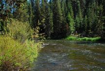
Deschutes River
Deschutes River viewed form Highway 42
LATITUDE: N 43.44.665
LONGITUDE: W 121.46.935
This section of the Deschutes River flows between
Crane Prairie and Wickiup Reservoir

PHOTO HERE
Old Cabin on Browns Creek
N 43.43.400
W 121.49.060
Elevation 4424'
From the dispersed camp area there is an old road
and the cabin is about a five minute walk. There are
several springs and an old water wheel...
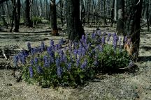
Wildflowers at Davis Lake
Wildflowers near Davis Lake June 16, 2006
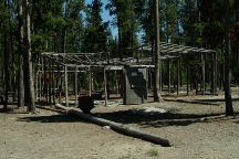
Mushroom Camp
Mushroom camp on Road#5814 near Crescent Lake

Over 5000 people live here during the mushroom season.
You can see hundreds of these pole buildings...
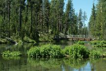
Fall River
Fall River

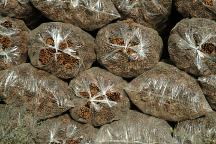
Pine Cones in Plastic Bags
Pine cones in plastic bags...

Dead Trees
Another good idea...
Everywhere you look is the same story.
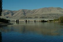
Deschutes River Crossing
Deschutes Crossing
Deschutes River drains into the Columbia River

Camped here May 2, 2008
There was snow on the ground...
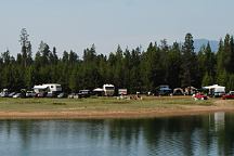
Crowded conditions at Wickiup Reservoir
Every campsite and possible space was occupied.
In the last couple years are more and more people.

CAMPGROUND INDEX
Complete free campground listing

CAMPING ADVICE AND TIPS

TOURIST PHOTOS

Copyright Notice
www.eugenecarsey.com

dispersedcampgrounds.com
Free campgrounds and camping
OREGON CAMPGROUND DIRECTORY
DESCHUTES NATIONAL FOREST
WICKIUP RESERVOIR