|
|


|
Free camping and campgrounds |
|
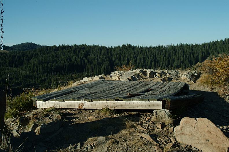
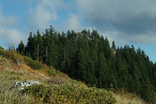
Camping on top of Loggers Butte, PHOTO HERE
There is a picnic table and a little outhouse
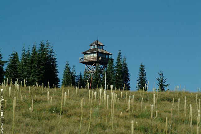
Take Road#439 past Warner Mountain Lookout
|


|
WARNER RIDGE LOOKOUT
xx LAKE / ROAD#W5209 |


The road to the summit of Logger Butte DIRECTIONS: From Road#23 ROAD CONDITIONS: Cheapest gas is in Springfield near I-5 ESTABLISHED CAMPGROUNDS There is a nice little camp on Highway 58,
east from We were parked when a bear came into These are only a few of the different colors HILLS CREEK DAM Also see: AUFDERHEIDE
FOREST DRIVE OREGON FREE CAMPGROUND MAP CAMPGROUND INDEX Camped here 2005 dispersedcampgrounds.com

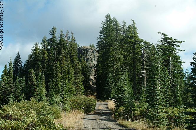
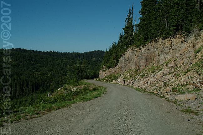
Unmarked road to the top of Logger Butte
This section is kind of dangerous.
might make you a little nervous. There is
a short section that is narrow with a steep
drop down.
From Oakridge
Take Hwy.58 east about 2 miles
Turn south on Road#23
Go 1/2 mile to the junction of Road#21
Take Road#21 / Diamond Drive for xx miles
Turn on Road#2129 / Youngs Creek Road
Go towards Warner Mountain Lookout.
Take Road#439 past Warner Mountain Lookout
Just before the junction of Road#2120
There is an unmarked road to the right.
Logger Butte about 1/2 mile on this road.
Take Road#2120 about 10 miles
Turn at the junction of Road#439.
The turn to Loggers camp is about
100 yards up Road#439
Turn to the left
Not recommended for RVs or trailers
Narrow road and limited turnaround.
Road is not maintained for snow and ice.
Extreme winter conditions possible.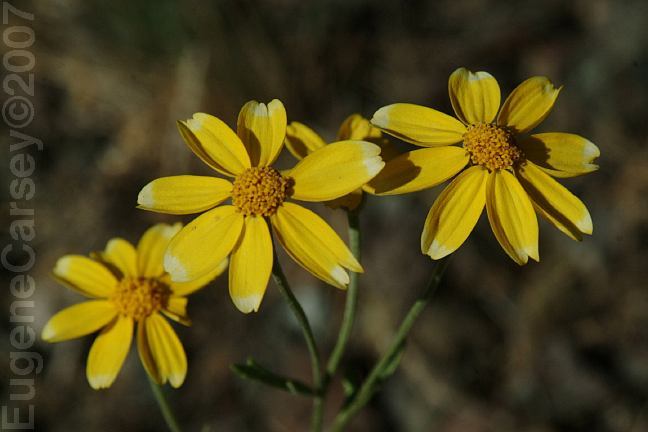
Wildflowers on Road#2129
July 16, 2006
Cheapest gas on I-5 southbound at Creswell
or I-5 northbound at Eugene, Albany or Salem.
(These campgrounds are on Road#21)
PACKARD CREEK CAMPGROUND $14.00
SAND PRAIRIE CAMPGROUND $12.00
Oregon Central Military Wagon Road
The old road at Sand Prairie Campground
is probably a portion of the Wagon Road
constructed in 1865-66
SECRET CAMPGROUND $10.00
Between milepost 18-19
CAMPER'S FLAT CAMPGROUND $10.00
Water pump
Elevation 2000'
Near milepost 20 (Between MP19-20)
There are several other established
campgrounds that are not listed...
Oakridge at milepost 42. There is a creek and moss
covered trees, feel right at home.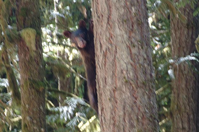
Bear in tree
(About 30 feet distance)
the camp. He was more scared of us and
ran up the tree. Photo is dark and blurred,
because of low lighting conditions..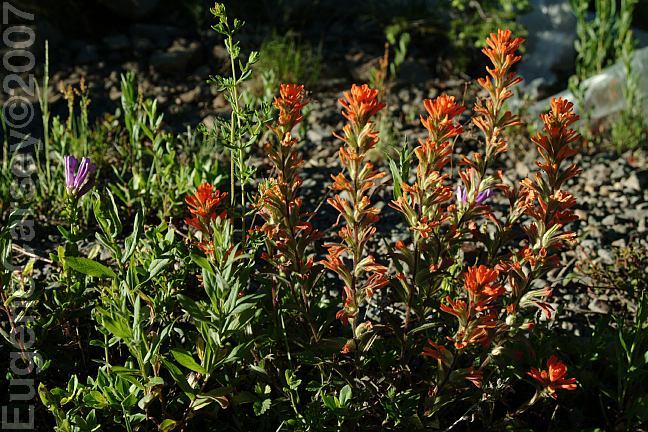
Wildflowers on Warner Ridge
July 17, 2006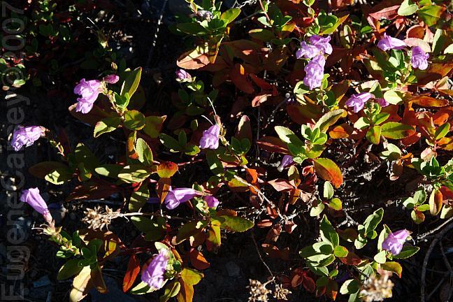
Wildflowers on Warner Ridge
July 17, 2006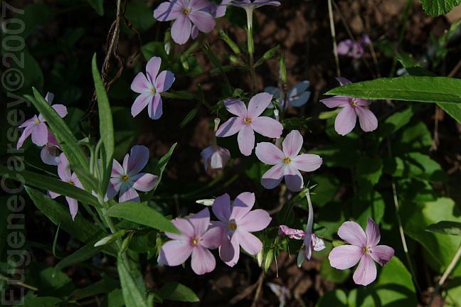
Wildflowers on Warner Ridge
July 17, 2006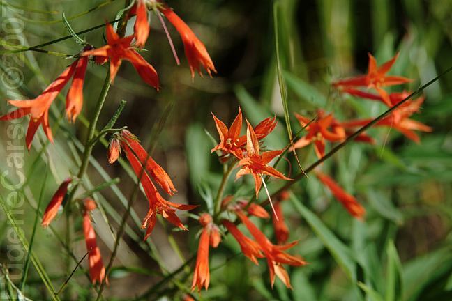
Wildflowers on Warner Ridge
July 17, 2006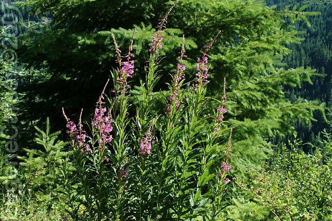
Wildflowers on Warner Ridge
July 17, 2006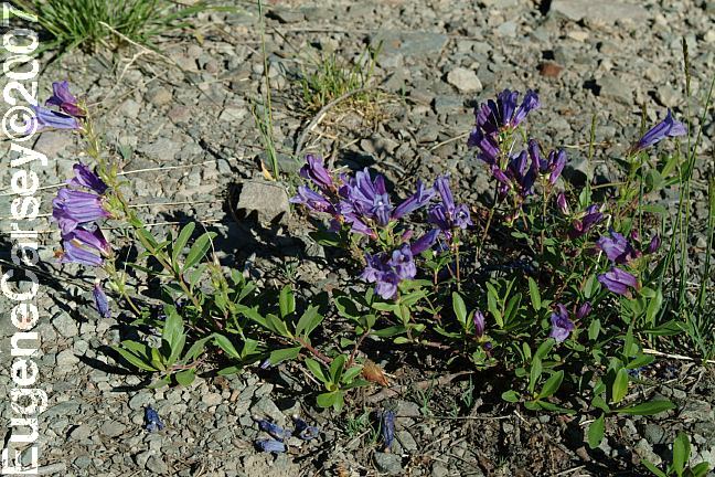
Wildflowers on Warner Ridge
July 17, 2006
and variety of the wildflowers that had been
splattered like paint on the hillsides.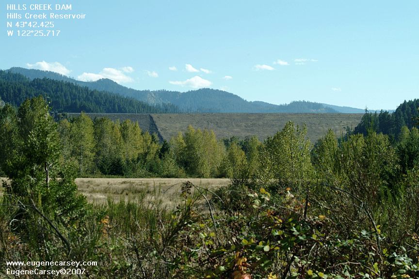
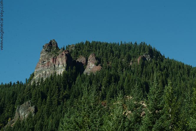
Hills Creek Dam
Photo from Road #23
(About 1/2 mile from the Jct. of Road#21)
LATITUDE: N 43°42.425
LONGITUDE: W 122°25.717
(GPS from top of Hills Creek Dam)
Hills Creek Dam and Reservoir near Oakridge, OR.
Also see: FALL
CREEK LAKE
Also see: INDIGO SPRINGS
Also see: LEMOLO
LAKE
Also see: HILL CREEK
RESERVOIR
Also see: SALMON CREEK ROAD
Also see: SCAREDMAN
BLM REC.SITE
Google Custom Map by Ian
Google custom map by Ian with most of the
free campgrounds in Oregon.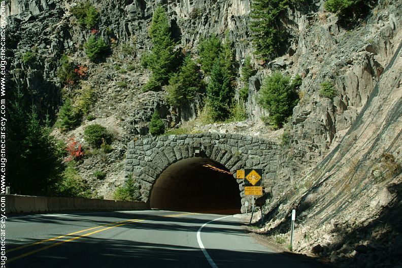
Tunnel on Hwy.58 / MP56-57
Just west from Salt Creek Falls.
Photo through windshield of vehicle at 55 mph.
Complete free campground listing
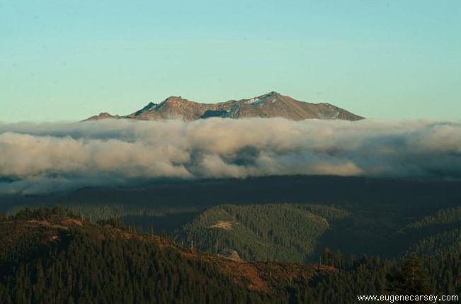
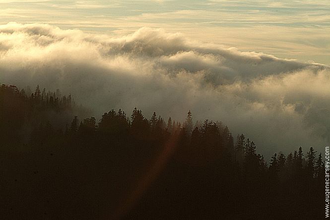
These are not real clouds.
Camped here 2006
Camped here Sept 27, 2007
It started raining heavy around 5am
and quickly turned to snow...
Free campgrounds and camping
OREGON CAMPGROUND DIRECTORY
CAMP LOGGERS BUTTE
LOGGERS BUTTE CAMP
LOGGER BUTTE
