|
Free camping and campgrounds. |
|
Scaredman Campground and BLM Recreation Site
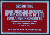
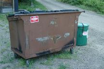
Picnic Tables DIRECTIONS: See road map...the roads are narrow, winding MILEAGE CHART: From the junction of Road#38 Steamboat Creek Campground Scaredman Campground 6 miles 3 miles Showers at Susan Creek Campground NEARBY CAMPGROUNDS WARNING!!! If you remove a
soda can or LEMOLO LAKE Umpqua is the name of an Indian Tribe |
More things to do and see... COLLIDING RIVERS TOKETEE FALLS WATSON FALLS CINNAMON BUTTE LOOKOUT CRATER LAKE NATIONAL PARK
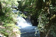
Spectacular scenery and geologic phenomenon
World Class Fishing and Whitewater Boating...
Hwy.138 near Glide
North Umpqua River and Little River
colliding together for dramatic effect.
Double-tiered falls drops 120' over columnar basalt.
0.4 mile trail leads to an observation deck.
Hwy.138 / Milepost 59
Turn north on Road#34 and follow signs.
(Less than 1/4 mile)
272 feet.
Hwy.138 / Milepost 61
Turn south on Road#37
Road#4793
Highway 138
Also see: LEMOLO LAKE OREGON FREE CAMPGROUND MAP Least priced gas on I-5 northbound at Creswell Camped here June 12, 2006 CAMPGROUND INDEX
dispersedcampgrounds.com
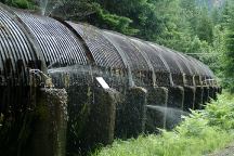
Redwood Aqueduct at Toketee Falls Trailhead
Sharp Creek BLM Recreation Area
Also see: OAKRIDGE
/ FS ROAD #21
Also see: OAKRIDGE
/ FS ROAD #24
Also see: OAKRIDGE
/ LOGGER'S BUTTE
Google custom map by Ian with most of the
free campgrounds in Oregon.
It is recommended to fill-up.
Not too many gas stations...
Camped here June 21, 2006
Complete free campground listing
Free campgrounds and camping
OREGON CAMPGROUND DIRECTORY
SCAREDMAN CAMPGROUND
SCAREDMAN BLM RECREATION SITE


