|
|


|
Free camping and campgrounds
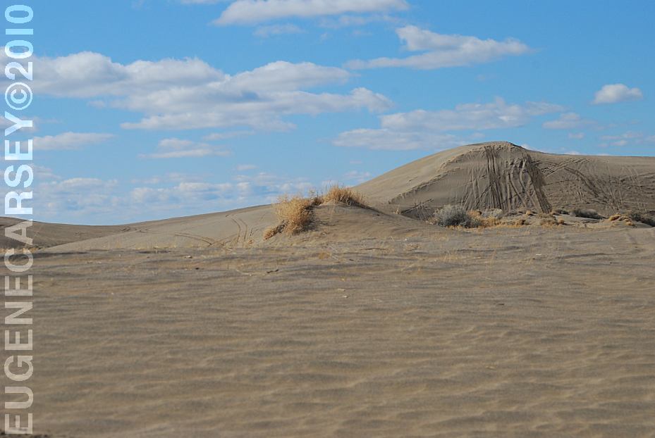
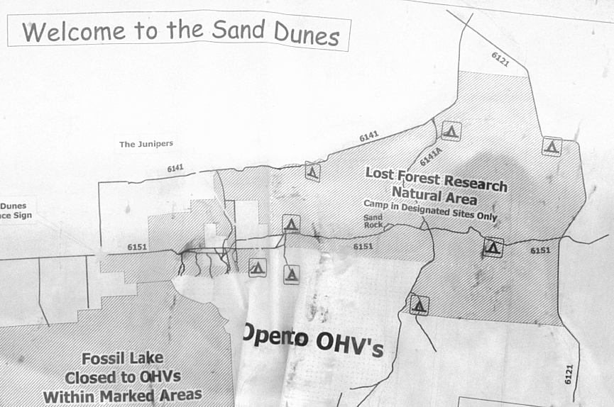
CHRISTMAS VALLEY SAND DUNES
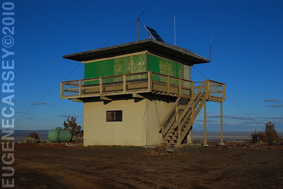
GREEN MOUNTAIN CAMPGROUND
Camp in Designated Sites Only No gathering or cutting firewood in the Lost
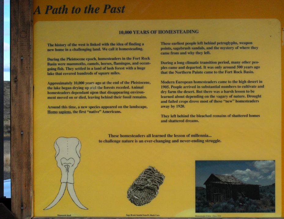
Forest and Sand Dunes Wilderness study areas are public lands that
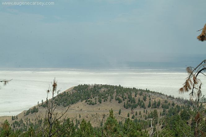
are Fossil Lake from trailhead to information sign |

|
PHOTO HERE
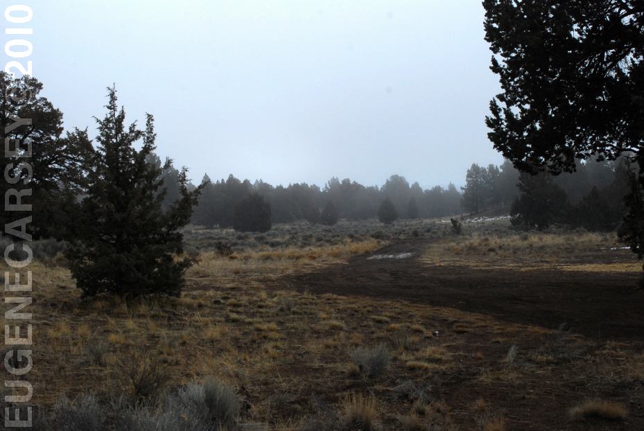
There are several camp areas near the Sand
Dunes
PHOTO HERE
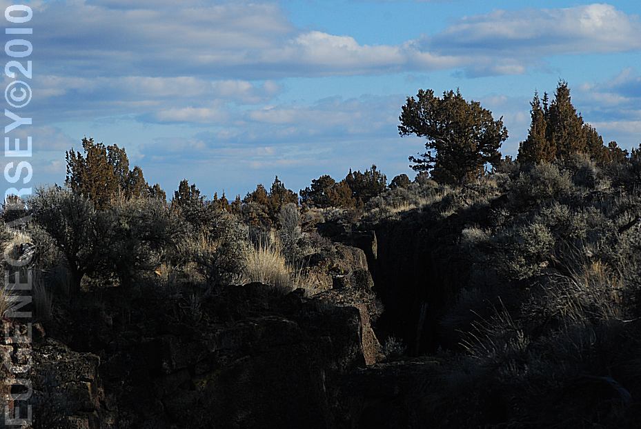
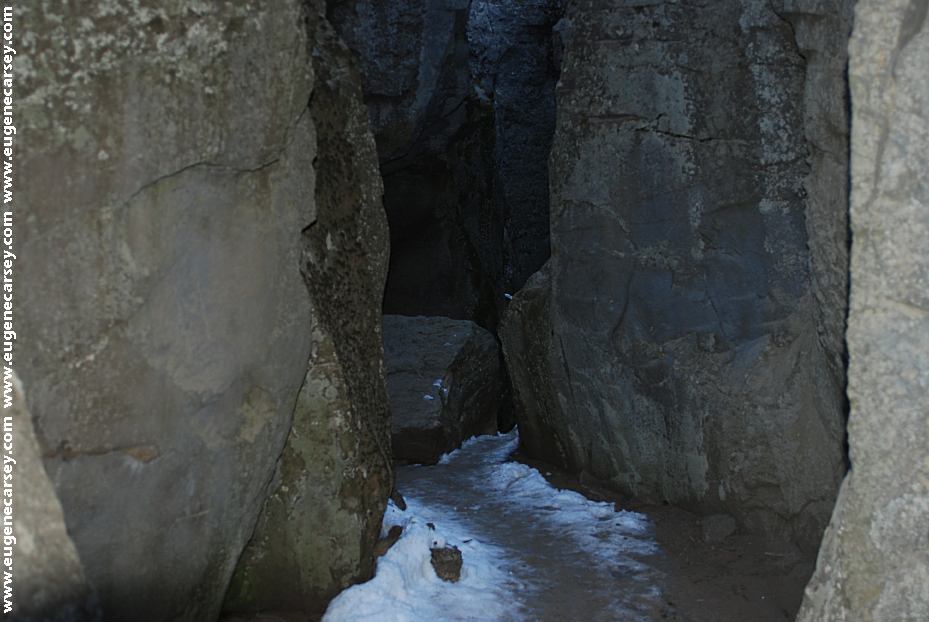
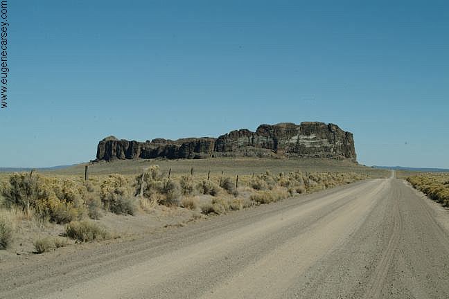
Crack In The Ground PHOTO HERE
|


|
DIRECTIONS: From Fort Rock, OR ROAD CONDITIONS: WILDLIFE: IT IS YOUR RESPONSIBILITY TO
KNOW
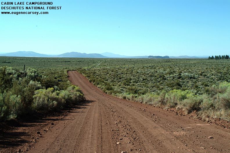
CABIN
LAKE CAMPGROUND
|

|
Also see: ALDER SPRINGS
OREGON FREE CAMPGROUND MAP EAST FORT ROCK OHV TRAIL SYSTEM
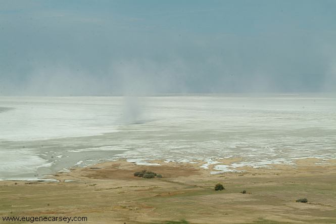
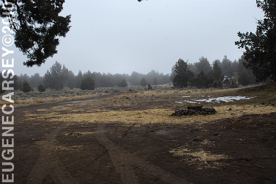
This day the winds were kicking up a dust storm.
SHELDON NATIONAL WILDLIFE REFUGE CAMPGROUND INDEX
dispersedcampgrounds.com |