|
|


|
Free campgrounds and camping |
|
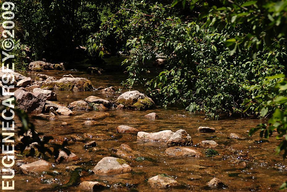
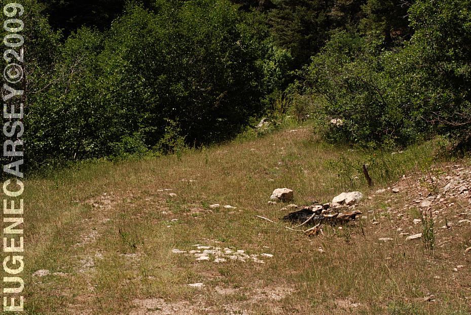
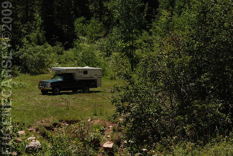
No actual photos of campground, because
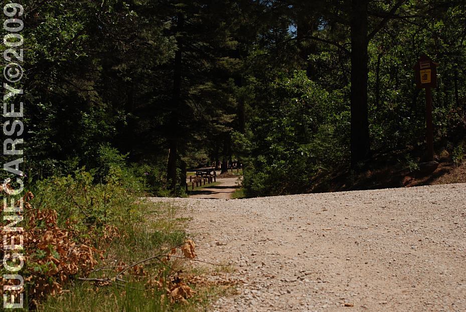
Picnic Tables
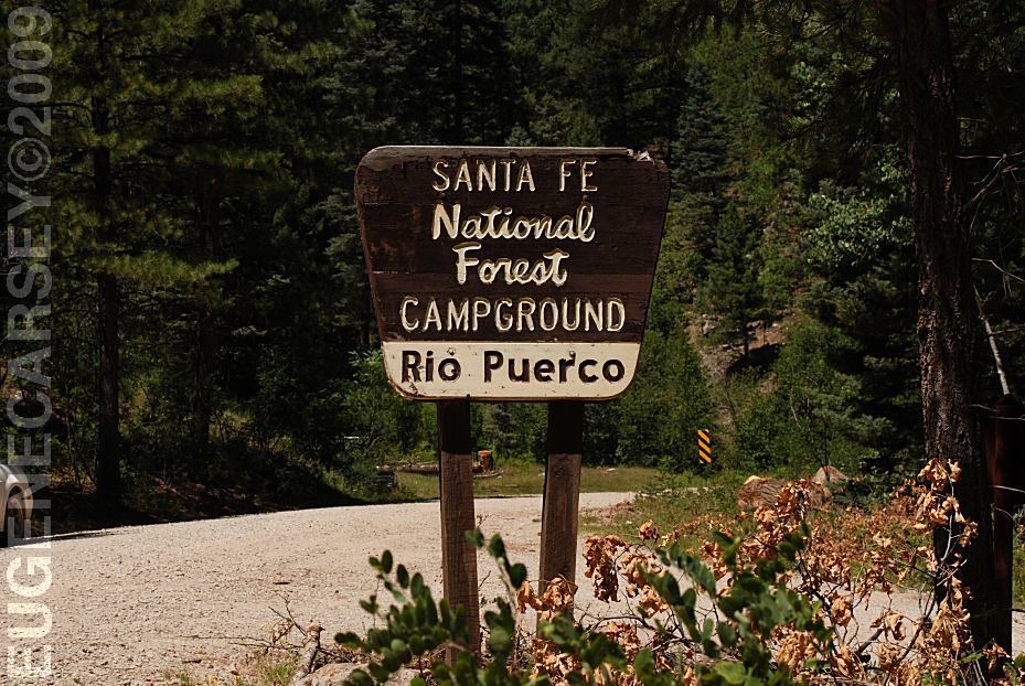
There are two camping areas on the other Shovel, ax and water required
for dispersed camping. CLEAR CREEK CAMPGROUND (Fee Area) |
DIRECTIONS: From Cuba, NM From Hwy.126 you can take Road 70 ROAD CONDITIONS: From the south Hwy.126 is dirt surface Know the weather forecast and be prepared.
From Galina, NM
Take Hwy.96 east for 3 miles
At milepost 23 turn on Road 103
Take Road 103 south for 10 miles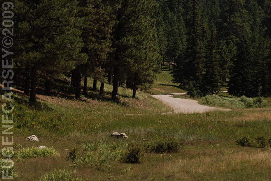
Road 103 looking north
Viewed from junction of Road 126
Take Hwy.126 about 14 miles
Take Road 103 towards Rock Creek Mesa
Campground about xx miles
and it will save some extra miles...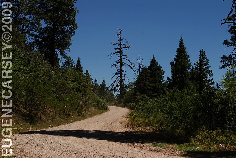
Road 103 Looking north from Rio Puerco Campground
Hwy.126 is paved from Cuba, NM
Mountain grades and curves
Forest roads are dirt and gravel surfaces
Roads may be impassable in bad weather
Not plowed of snow in winter months
Most vehicles possible in good weather
RVs use your own discretion
Good brakes required.
with some rough and sandy areas.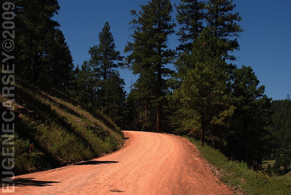
Hwy.126 at junction of Road 103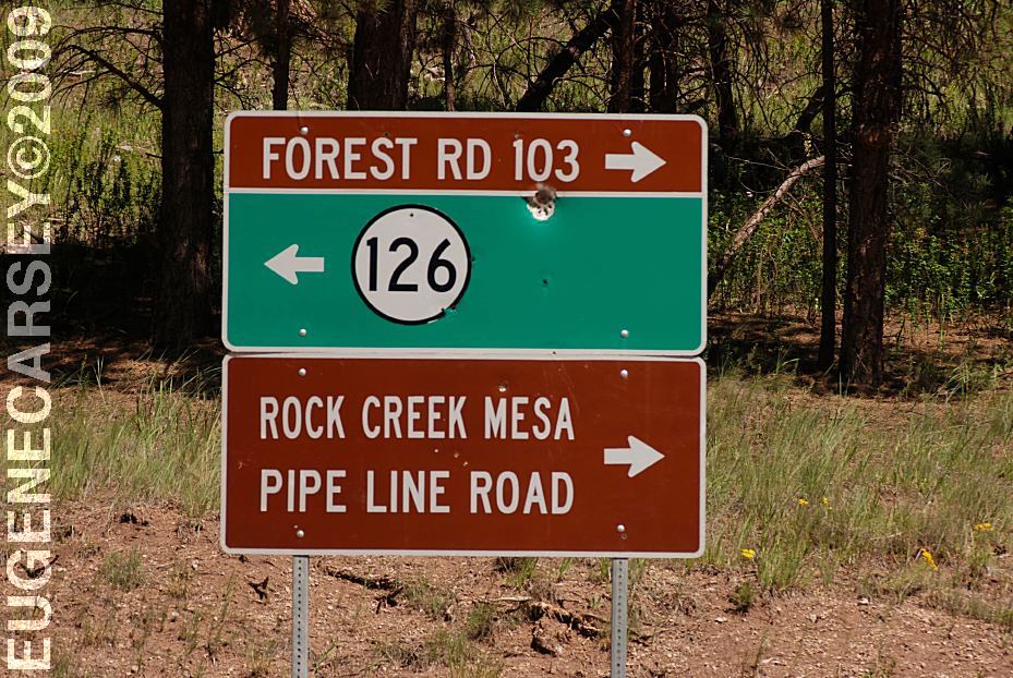
Hwy.126 at junction of Road 103
Extreme winter conditions possible...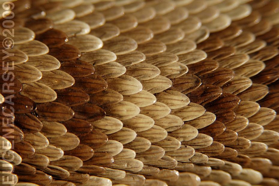
Rattlesnake Skin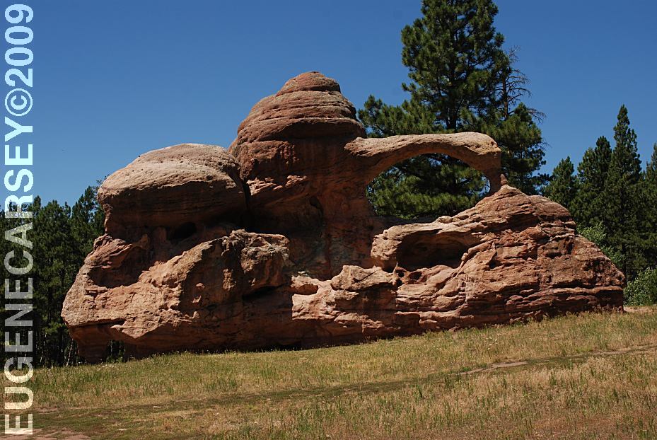
Natural Arches on Road 103
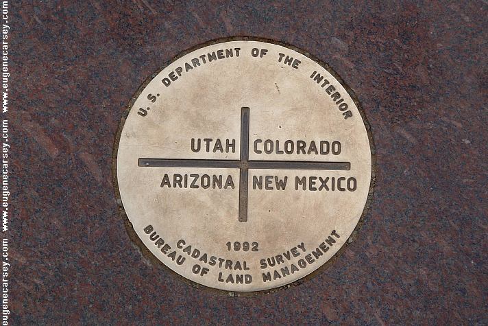
LATITUDE: N 36°02.852
LONGITUDE: W 106°41.330
A couple miles north from junction of Road 70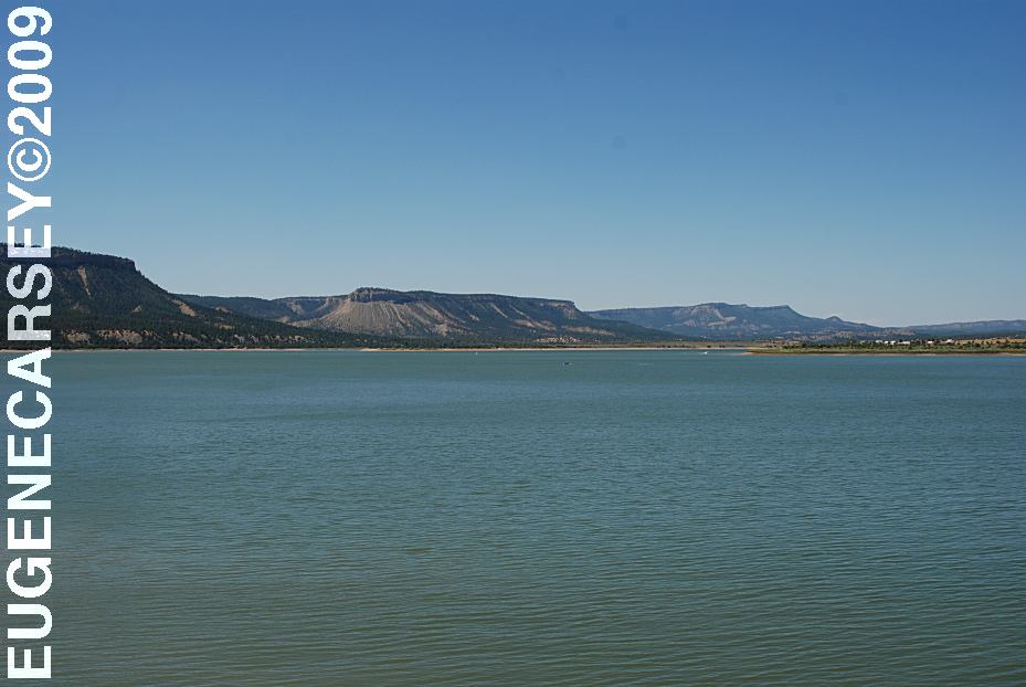
xx Lake
Road 15??? xx miles north???
Bill Knight Gap
Road 19 North from Prewitt, NM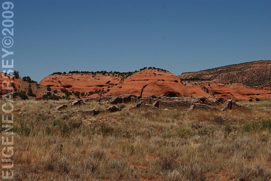
Casamero Pueblo Archaeological Site
Road 19 North from Prewitt, NM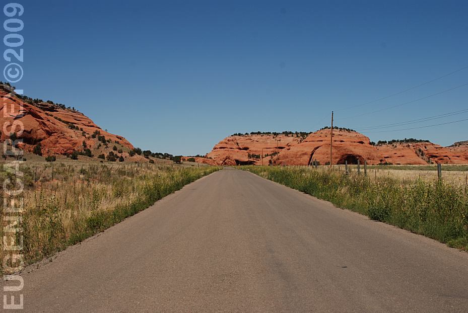
Road 19 North from Prewitt, NM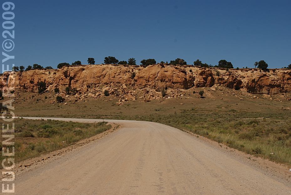
Road 19 North from Prewitt, NM
|
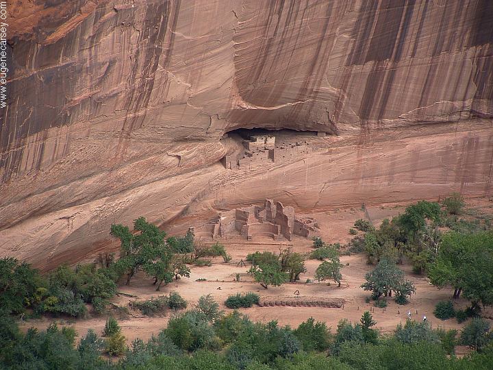
Also see: BISTI WILDERNESS
CAMPGROUND INDEX
dispersedcampgrounds.com |