|
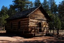
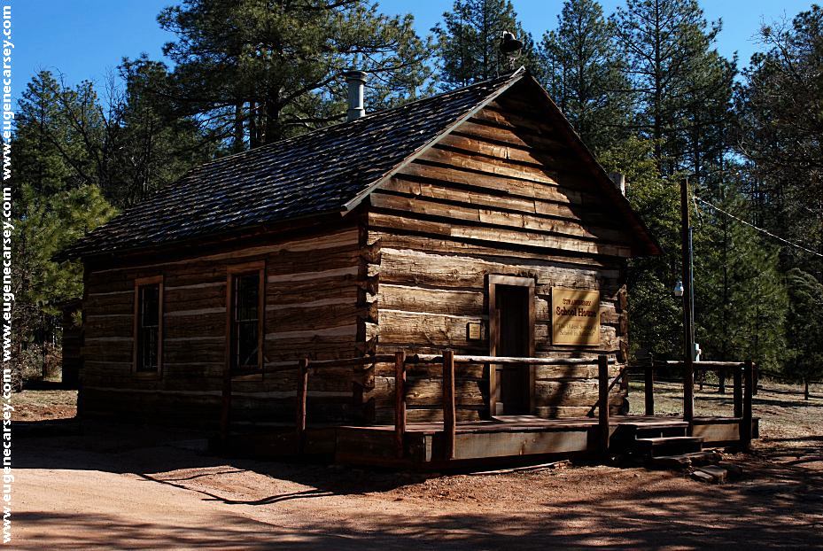
Strawberry Historic School
Oldest Standing School in Arizona
LATITUDE: N 34°xx.xxx
LONGITUDE: W 111°xx.xxx
Fossil Creek Road about 1.5 miles
west from Strawberry, AZ
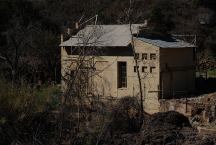
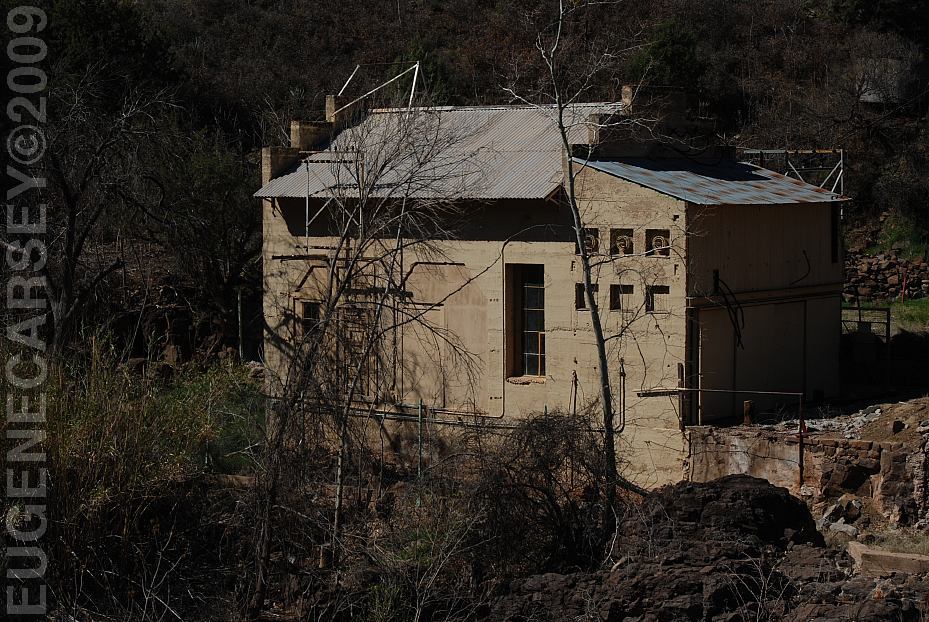
Historic Irving Power Plant
Closed to Public
LATITUDE: N 34°24.186
LONGITUDE: W 111°37.048
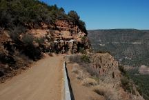
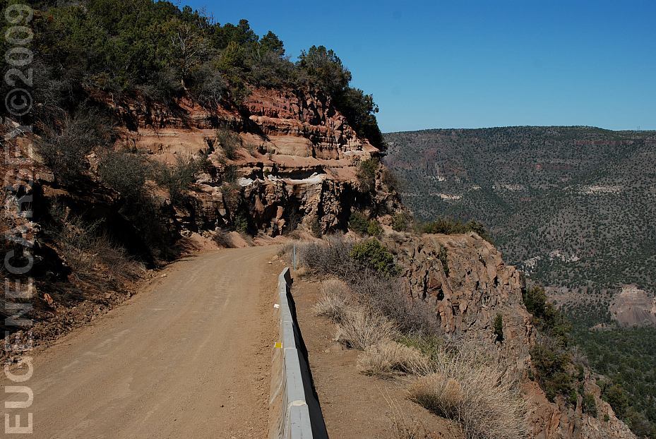
Fossil Creek Road
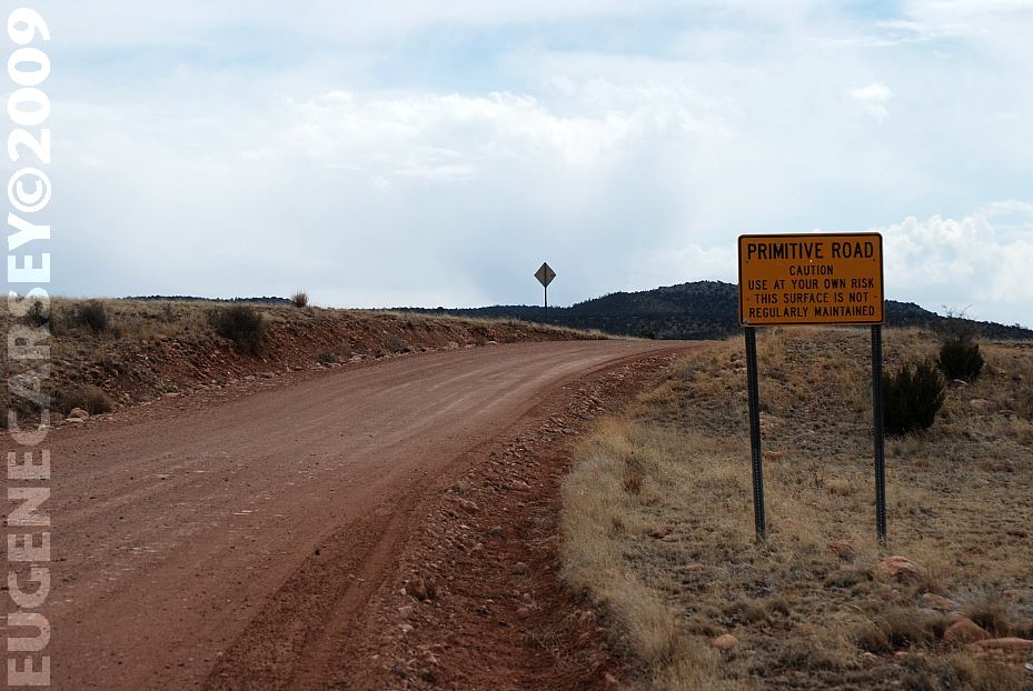
Narrow, Steep Downgrade
No shoulder with 1000' Drops
About 6 miles west from Strawberry, AZ
Use caution when driving this road.
Also see: COCONINO NF /
FOSSIL CREEK
Also see: MOGOLLON
/ HWY 260
Also see: MOGOLLON
/ HWY 87
Also see: MOGOLLON
/ HWY 99
Also see: TONTO
NF / FOSSIL CREEK
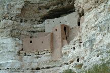
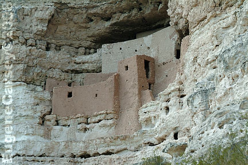
Montezuma Castle NM
LATITUDE: N 34°36.690
LONGITUDE: W 111°50.349
(GPS from the Visitor Parking Area)
There were vehicles from all over the country
CAMPGROUND INDEX
Complete free campground listing
CAMPING ADVICE AND TIPS
TOURIST
PHOTOS
Camped here March 11, 2009
Temperatures close to freezing.
Deer walked through our campsite.
They were skinny and beat up looking..

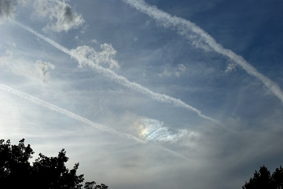
Funny Clouds
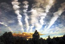
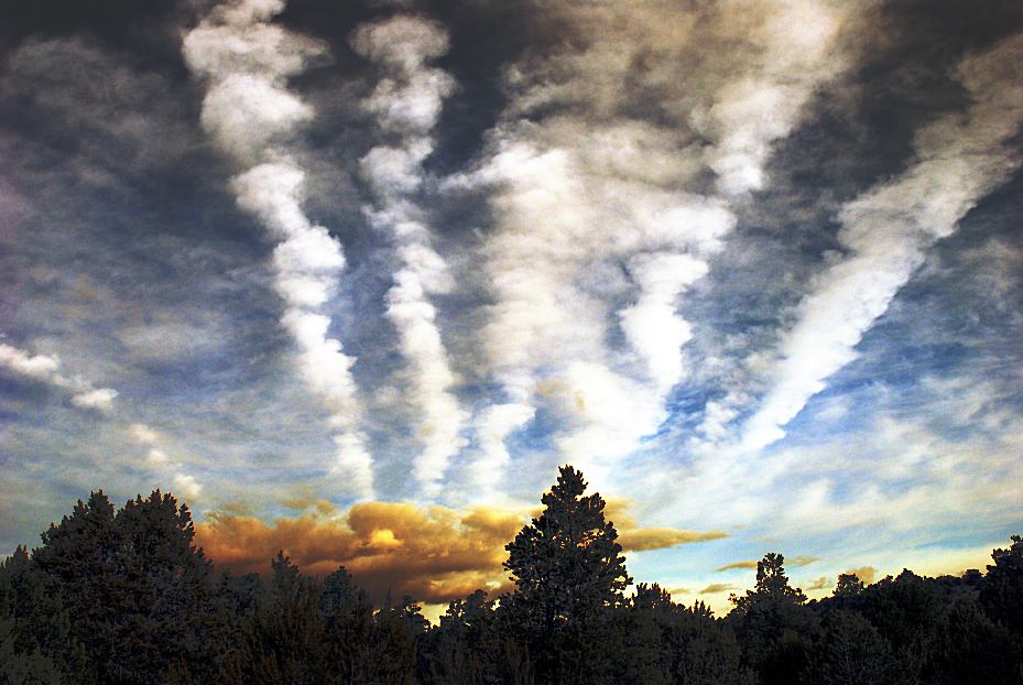
Funny Clouds

www.eugenecarsey.com
dispersedcampgrounds.com
Free campgrounds and camping
ARIZONA CAMPGROUND DIRECTORY
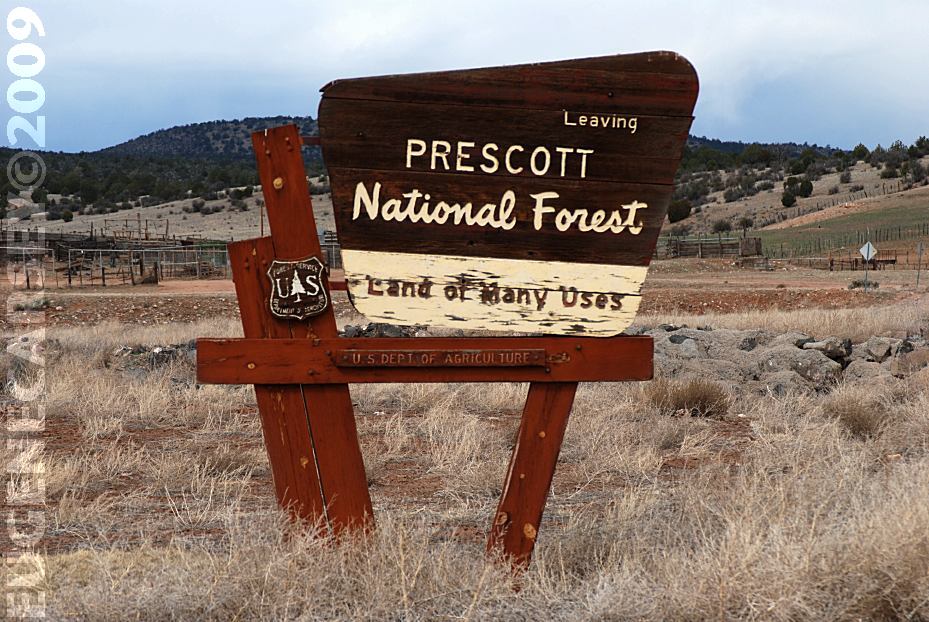
PRESCOTT NATIONAL FOREST
WILLIAMSON VALLEY ROAD
|