|
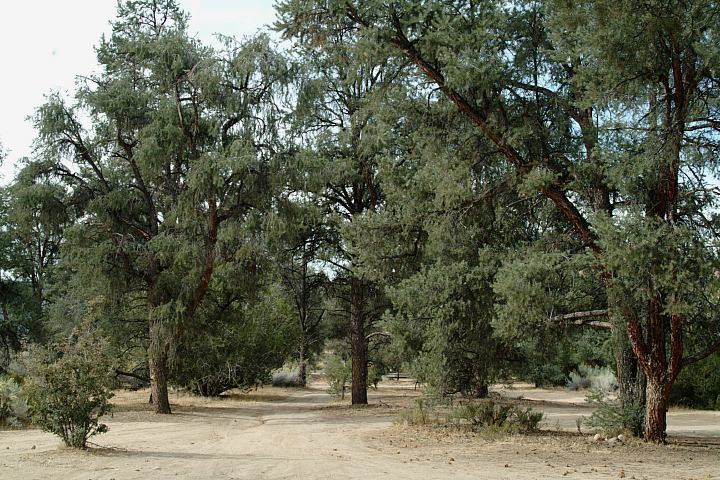
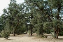
Dome Springs is an established campground.
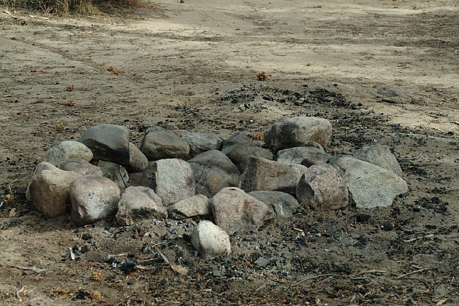
Picnic tables, metal firerings, and outhouse.
Campsites scattered throughout the trees.
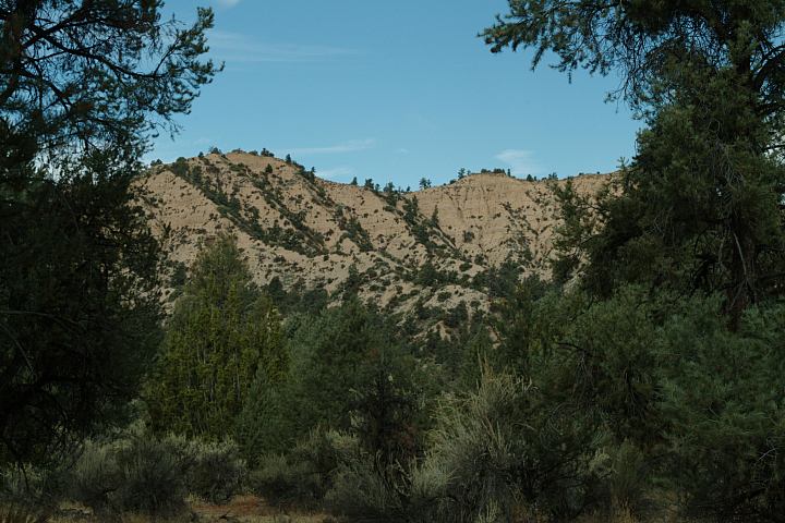
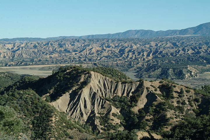
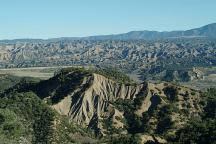
It is very relaxing and there are some interesting
views of badlands and erosion to the many variety
of flora and trees.
About 1/2 miles from junction
of Lockwood Valley Road.
Dome Creek Road
Primitive camp towards Dome Springs C.G.
1/2 miles from Jct. of Lockwood Valley Road
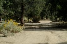
Primitive camp towards Dome Springs C.G.
1/2 miles from Jct. of Lockwood Valley Road

Primitive campsite
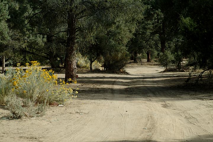
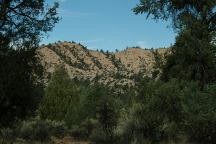
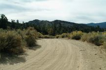
There are some good camp areas along the road.
to Dome Springs Campground. The above image
shows a side road that goes about 1/4 mile into the
trees with some good spots. A couple firepits...
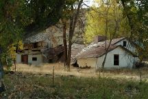
Old house on Lockwood Valley Road
Lockwood Valley Road
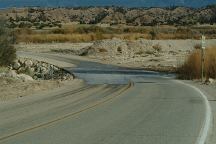
Lockwood Valley Road
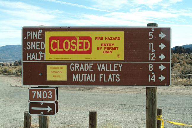
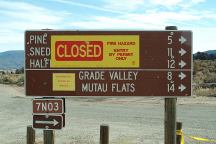
ROAD 7N03
|
Pine Springs Campground
Snedden Campground
Halfmoon Campground
Grade Valley
Matau Flats
|
5
11
12
8
14
|
This road is always closed??? Mostly we have been here during the
winter months, figured it's a seasonal thing... but it is also closed
this summer for maintenance... no trespassing... DO NOT ENTER!
UPDATE:
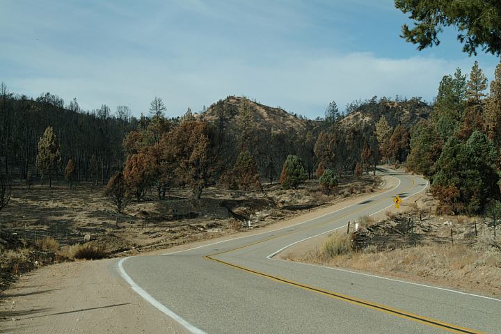
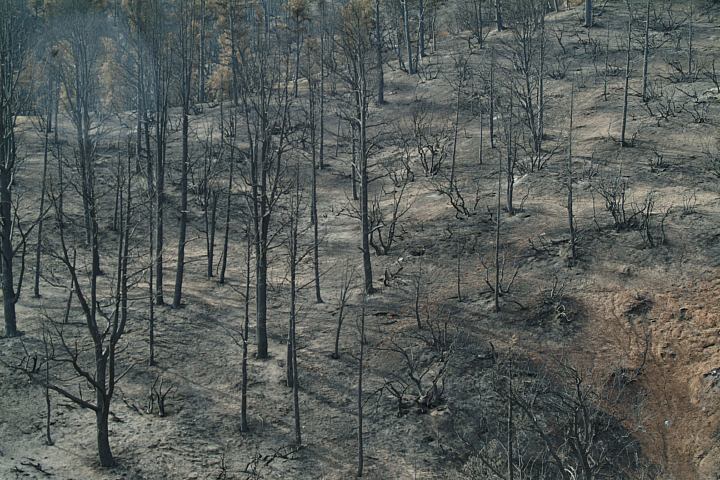
A forest fire in 2006
Road#7N03 closed due to forest fire...
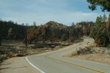
Forest fire on Lockwood Valley Road
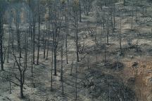
Forest fire on Lockwood Valley Road
DIRECTIONS:
From I-5 exit at Frazier/ Mount Pinos Rec. Area.
Turn on Lockwood Valley Road.
About 20 miles you will see the
sign for Dome Springs Campground.
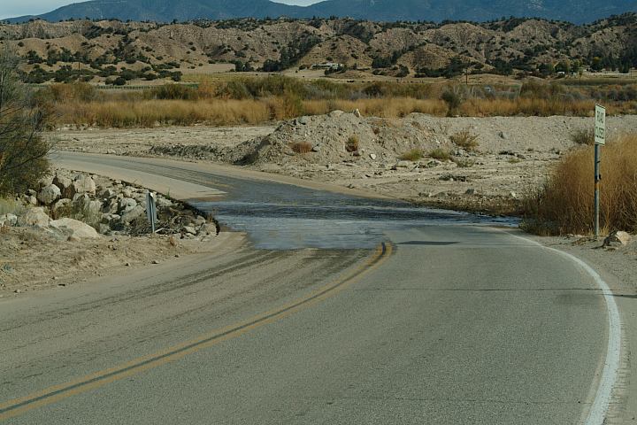
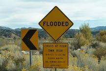
It is 3 miles of narrow dirt roads with
some washes and flash flood areas.
Campsites along side the road.
From Hwy.33
Take Lockwood Valley Road east about 6 miles.
There is a sign for Dome Springs Campground.
MAP
Highway 33
South of Lockwood Valley Road
MILEAGE CHART FROM JUNCTION OF
HWY.33 AND LOCKWOOD VALLEY ROAD
|
Going east on
Lockwood Valley
|
Lockwood Valley
Interstate 5
|
18 miles
35 miles
|
|
Going south on
Highway 33
|
Ojai
Ventura
|
37 miles
49 miles
|
|
Going north on
Highway 33
|
Maricopa
Taft
|
35 miles
43 miles
|
|