|
THIS IS NOT AN OFFICIAL CAMPGROUND
We have overnight parked, got up early and
continued towards our destination.

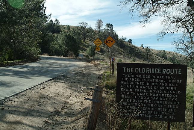
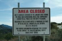
Old Ridge Route Road
Close to Los Angeles, yet you could
a million miles away. It is 30 miles to
Castaic, but the road is closed 6.5 miles
ahead due to storm damage in Jan.2005.
Less traffic this way...
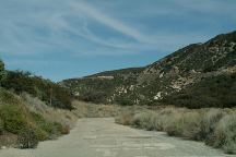
Old Ridge Route Road
The road is paved, but hasn't been maintained
or resurfaced in many years(1933?)... still it's in
better condition than some new roads we've
been on.. well almost. It is interesting to drive
this road. Feels like an old, good friend.
Not recommended for RV's.
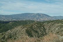
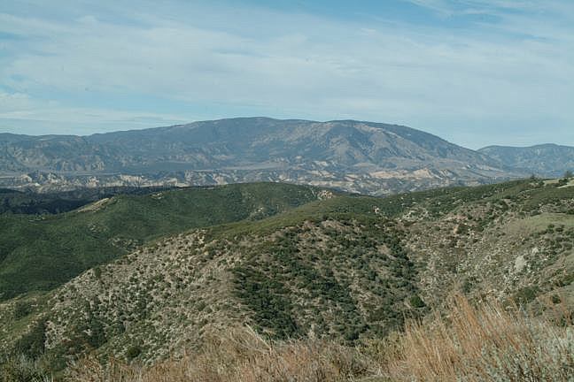
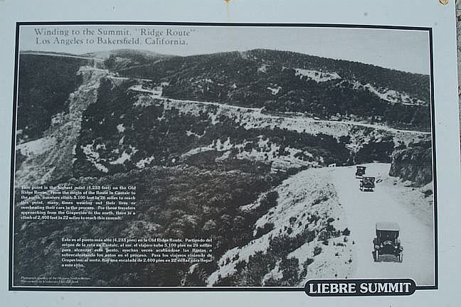
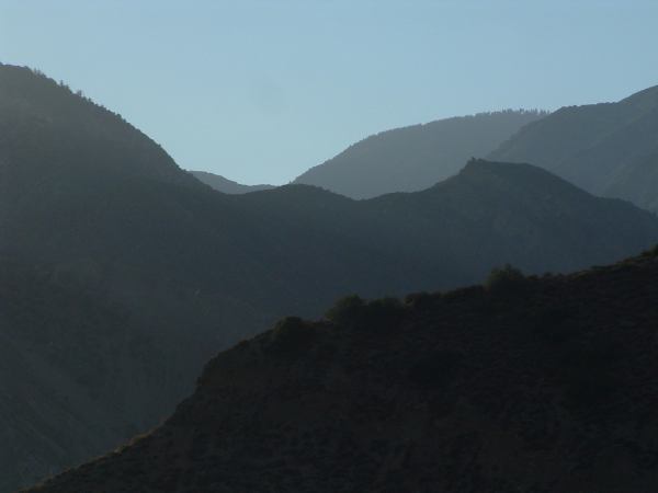
Liebre Summit
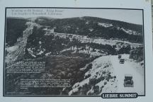
Liebre Summit
This point is the highest point (4,233) on the Old
Ridge Route. From the origin of the route in Castaic to
the south, travelers climb 3,100 feet in 26 miles to reach
this point, many times wearing out their tires or
overheating their cars in the process. For those travelers
approaching from the Grapevine to the north, there is a
climb of 2,400 feet in 22 miles to reach this summit.
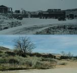
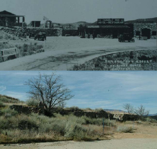
Tumble Inn
Road 8N04
Sometimes the weather is perfect, but don't
be surprised if it snows in the winter and hot
in the summer... and about the wind, seen
hurricane forces at work making it a challenge
to open the car door.
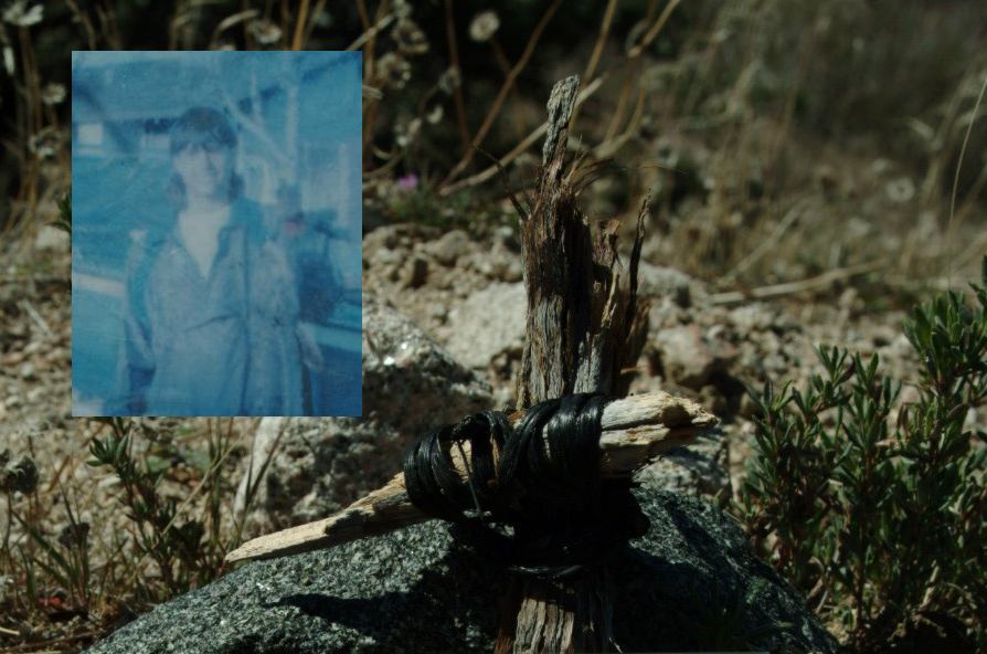
David
UPDATE: May 23, 2006.
Some individuals destroyed the memorial
to David and also trashed the place with
beer cans and plastic bags. There are
telephone company cables that have been
disposed of in the bushes... there are road
signs that have been covered with graffiti...
maybe Los Angeles isn't so far away.
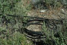
Telephone cable and garbage...
There are some established campgrounds in the
area.
If you drive 5 miles on Old Ridge Route Road, to the
junction of Road 7N23, there is a sign pointing to:
Bear Campground 9 miles
Sawmill Campground 14 miles.
Road 7N23 not recommended in bad weather.
(Narrow dirt road with ruts and steep grades)

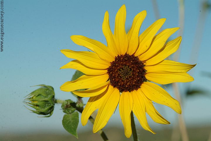
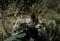
Flowers on Road#N2
|