|
|


|
Free camping and campgrounds Coppermine Bottom Campground now requires
|
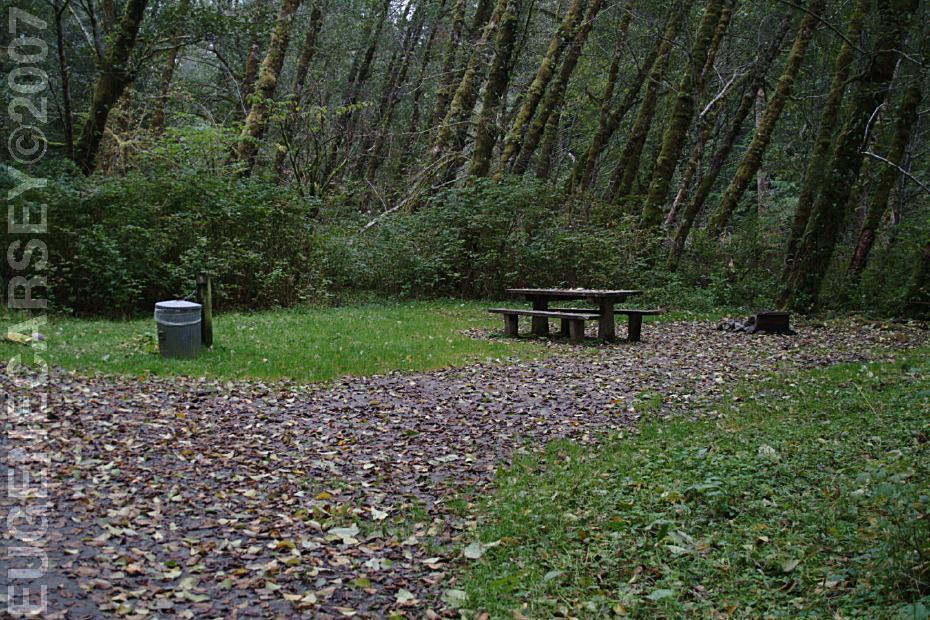
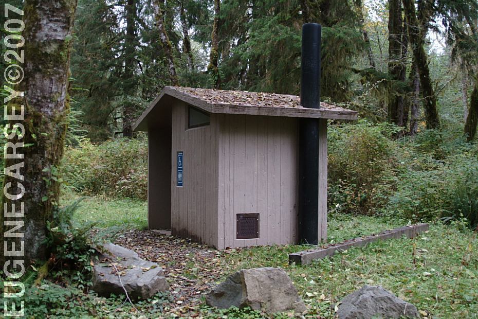

Picnic tables, metal firerings, outhouses, 7 Day Limit in any 30 Day Period DIRECTIONS: MILEAGE CHART Highway 101 14 1/2 miles Pay Showers located at the Rain Forest
Laundromat Water at Willaby Campground on Lake Quinault Smoking Prohibited on Forest Land COUGAR FACTS BEAR FACTS
SATSOP LAKE CAMPBELL TREE GROVE
CAMPGROUND CAMPGROUND INDEX Camped here October 12, 2007
dispersedcampgrounds.com
and garbage cans.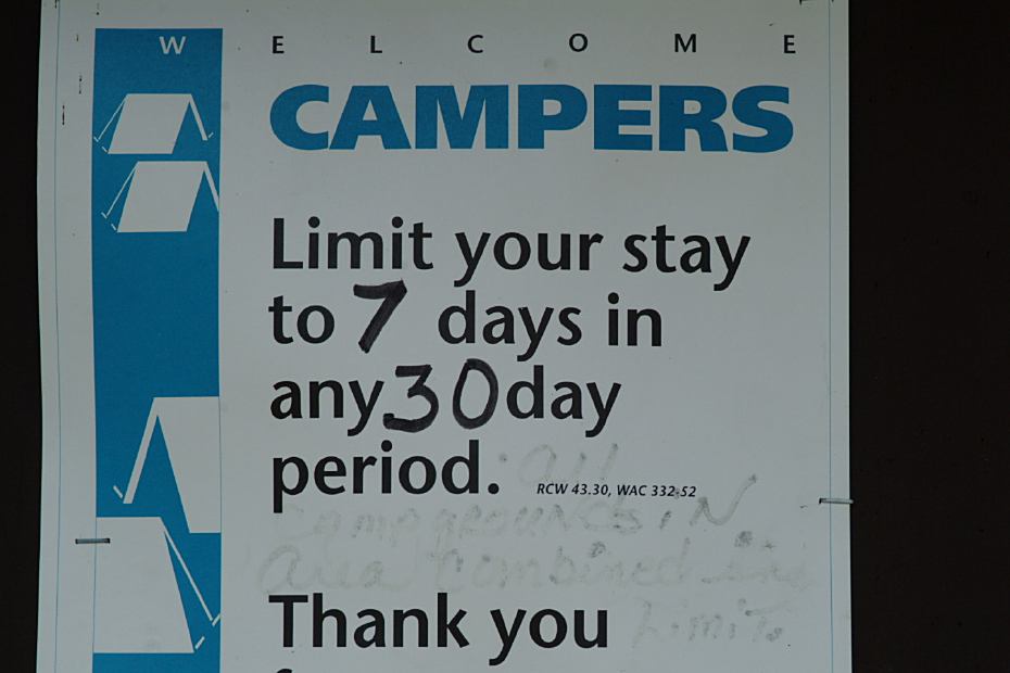
Camping Limit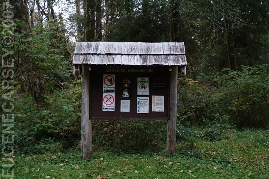
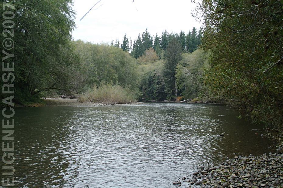
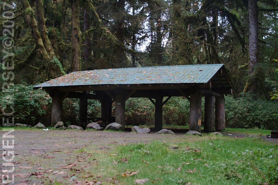
Coppermine Bottom Campground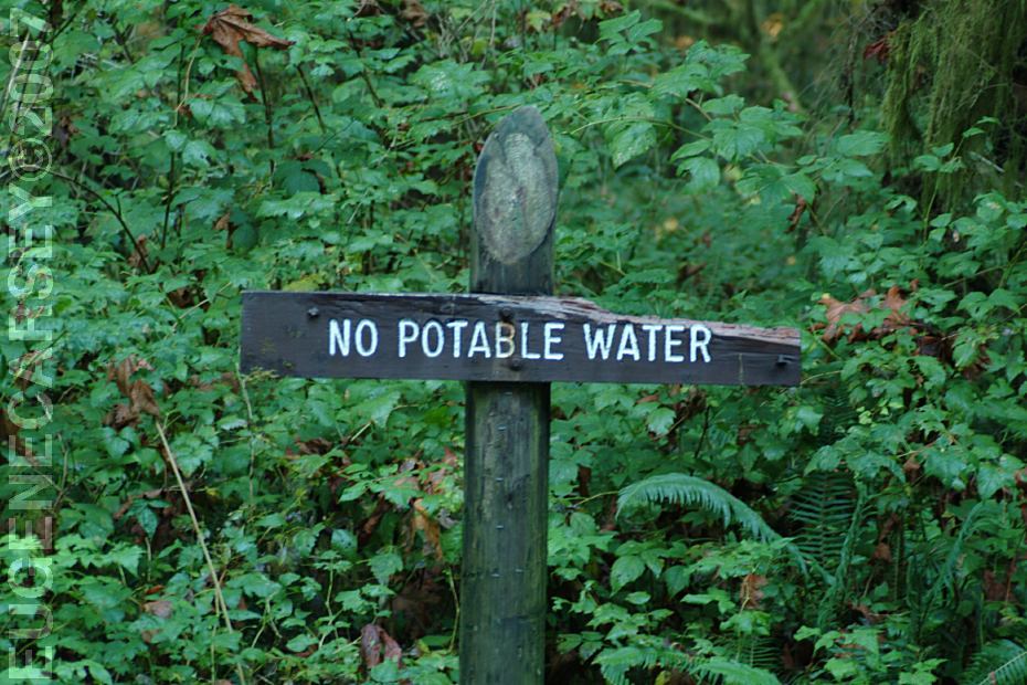
No Potable Water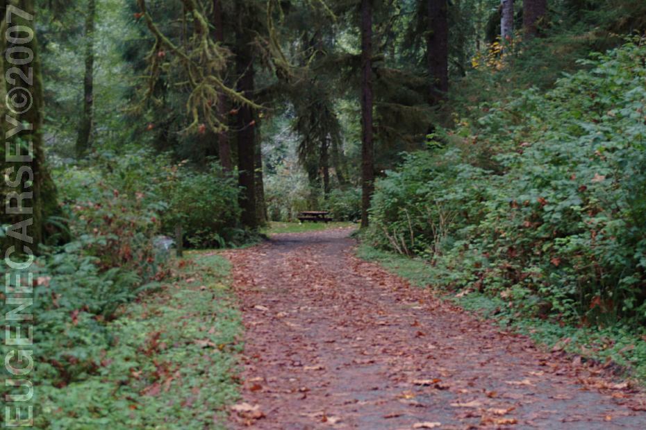
Coppermine Bottom Campground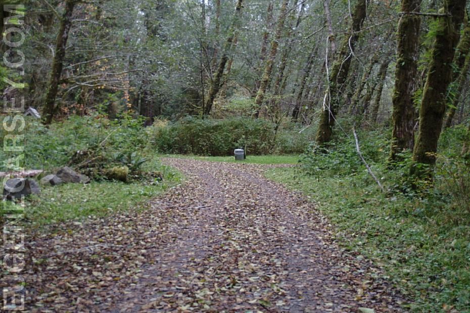
Coppermine Bottom Campground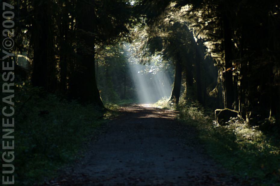
A ray of sunlight cutting through the trees
From Aberdeen, WA
Hwy.101 / MP 147
Take Clearwater Road for 13 miles
There is a sign marking the turn and
Coppermine Bottom Campground 1 1/2 miles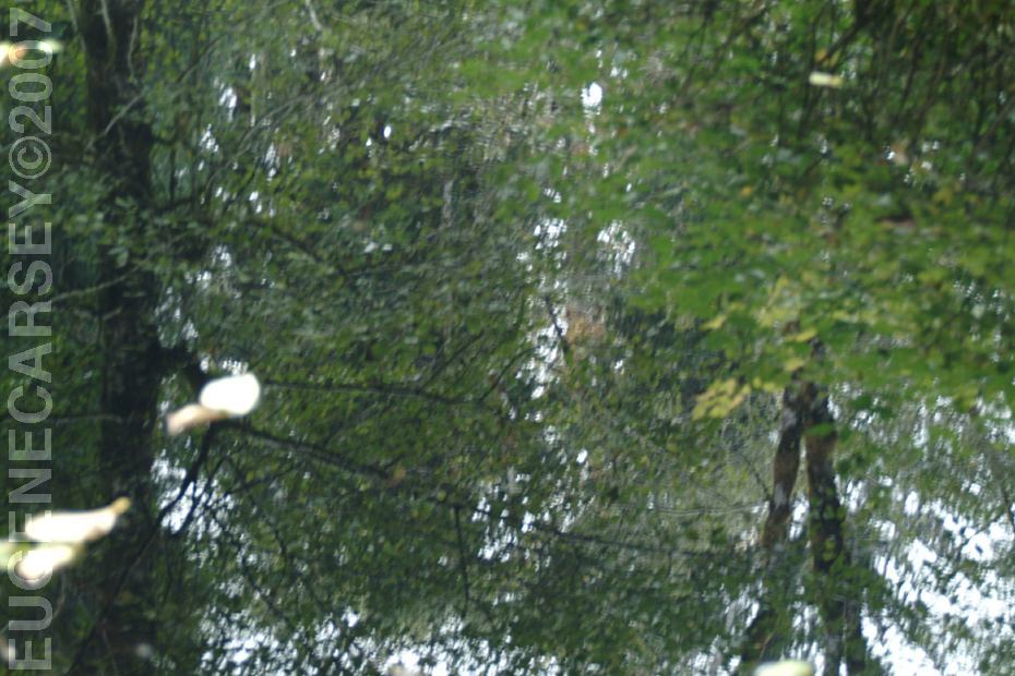
Reflections in a puddle of water
Looks like a piece of Artwork...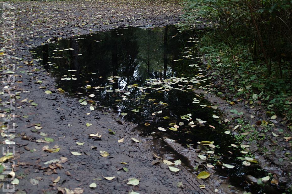
Puddles after a Rainfall
Aberdeen
Forks
xx
xx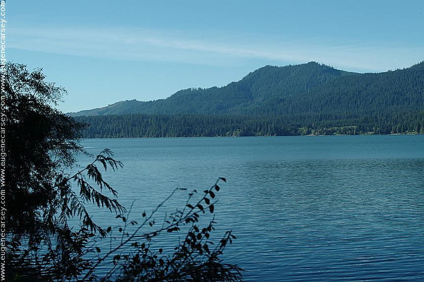
Lake Quinault
on the South Shore Road of Lake Quinault
(Hwy.101 at Milepost 125 turn on xx Road)
April 15 - October 15
Not sure of the exact situation??? 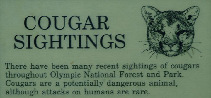
Cougar Sightings in Olympic National Park
General Facts and Safety
General rules and information.
Unknown Location
Unknown Location
Satsop Lake on Road#2272
Mushroom at Satsop Lake
LATITUDE: N 47°24.703
LONGITUDE: W 123°31.892
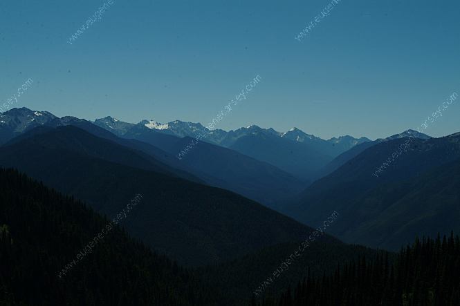
Olympic National Forest
Satsop Lake is on Road#2272
Wynoochee Dam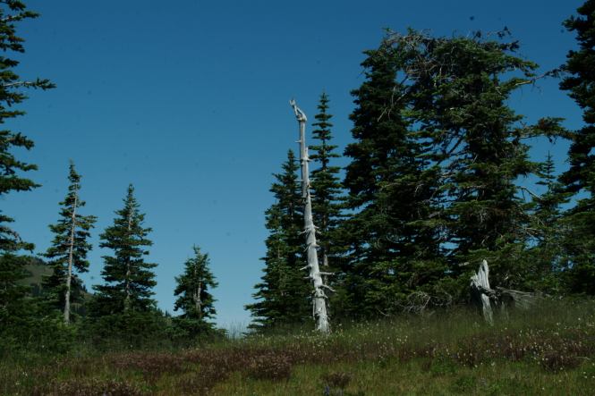
Unknown Location
COPPERMINE BOTTOM
CAMPGROUND
COTTONWOOD
CAMPGROUND
HOH-OXBOW
CAMPGROUND
MINNIE PETERSON
CAMPGROUND
SOUTH FORK HOH
CAMPGROUND
UPPER
CLEARWATER CAMPGROUND
WILLOUGHBY CREEK
CAMPGROUND
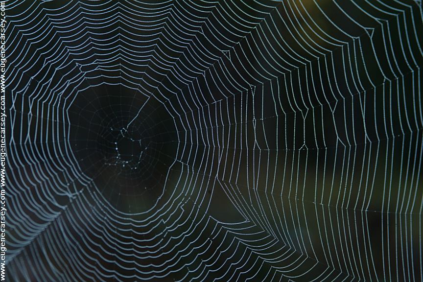
Spider's Web on Road 22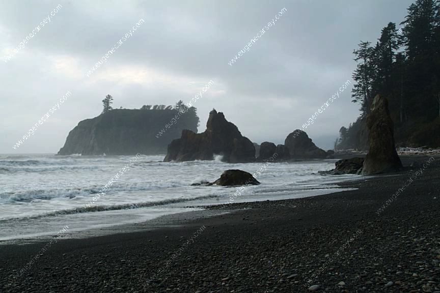
Ruby Beach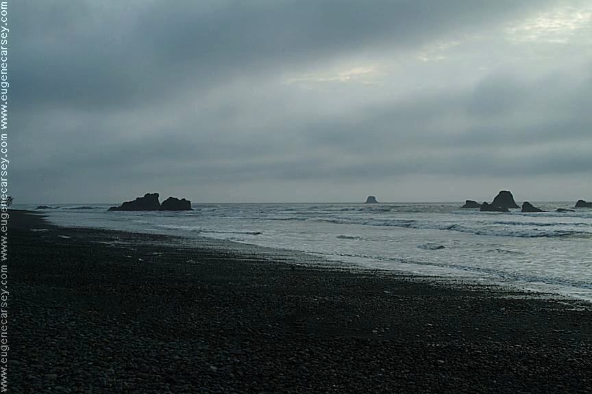
Ruby Beach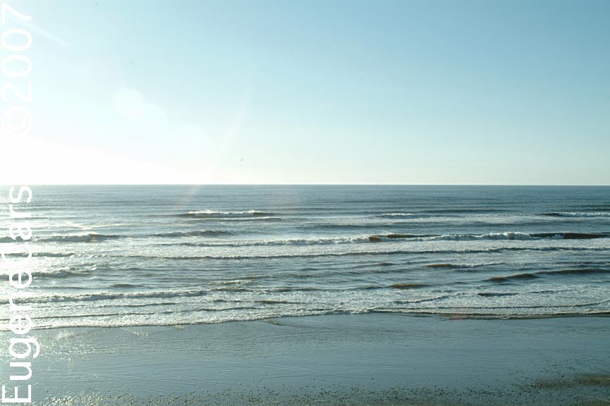
South Beach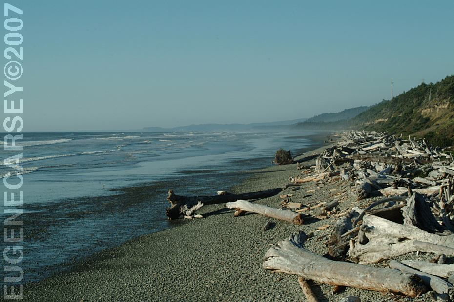
South Beach
South Beach
South Beach
South Beach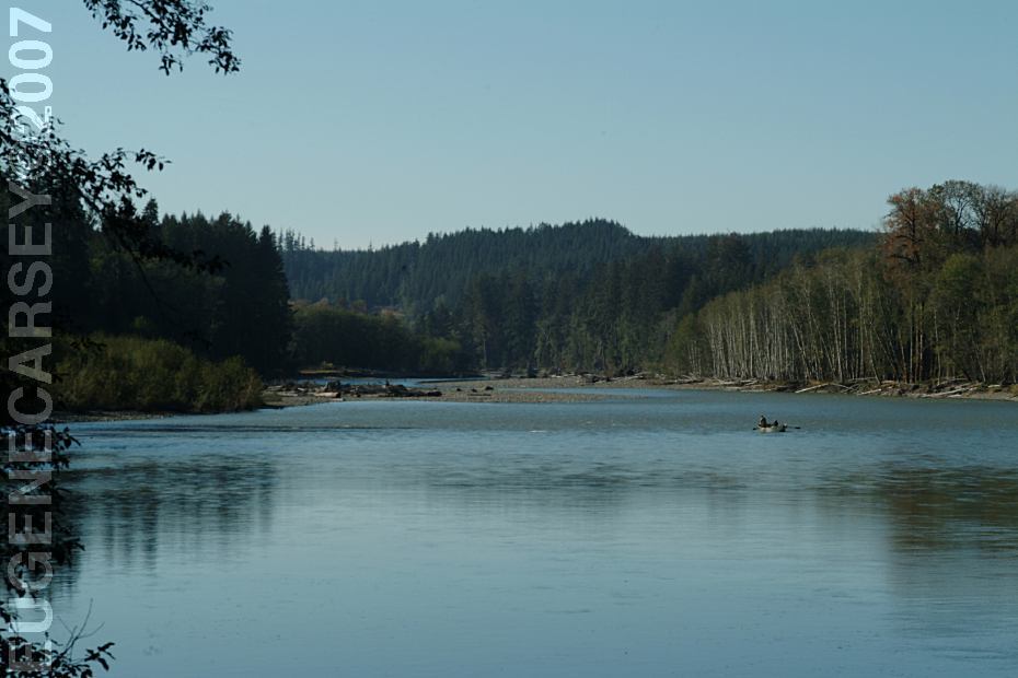
Queets River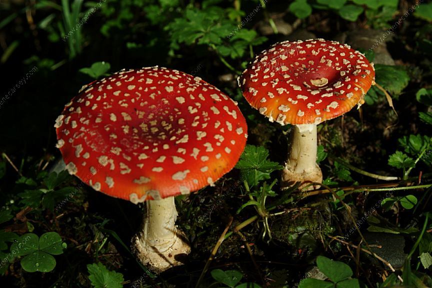
Mushrooms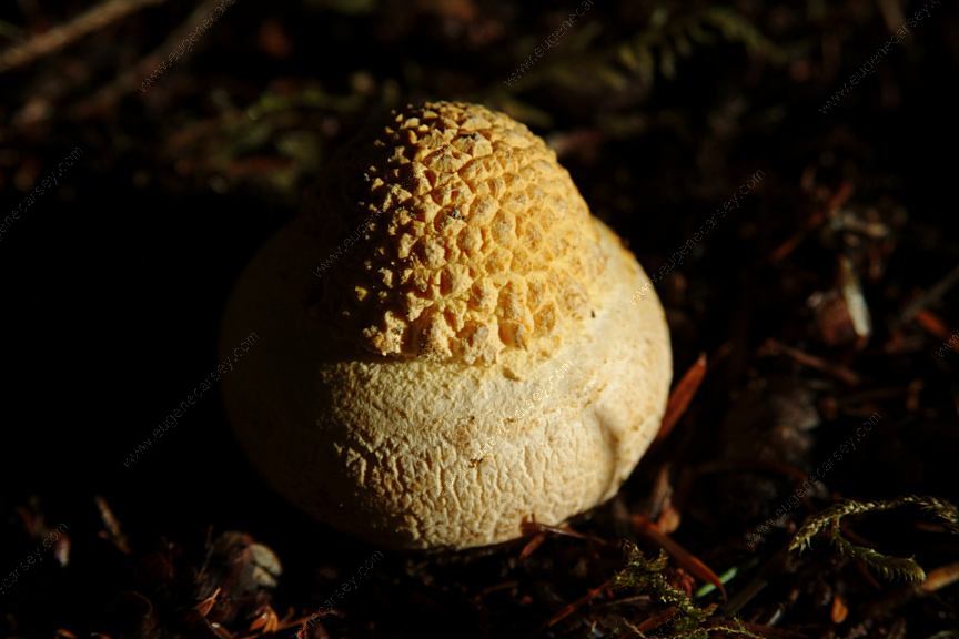
Mushrooms
Complete free campground listing
Free campgrounds and camping
WASHINGTON CAMPGROUND DIRECTORY
OLYMPIC NATIONAL FOREST
COPPERMINE BOTTOM CAMPGROUND
