HELLS CANYON FACTS
AND INFORMATION Hurricane forces as the wind is DIRECTIONS: MILEAGE FROM OXBOW: Showers at Wallowa Lake State FIRE RESTRICTIONS Also see: BALM CREEK
RESERVOIR OREGON FREE CAMPGROUND MAP CAMPGROUND INDEX dispersedcampgrounds.com
funneled through the canyons. 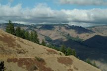
Payette NF Road#050 towards Road#454
Kleinschmidt Grade. This is a narrow road
with steep grades. Not recommended for RV's.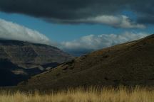
Payette NF Road#050 towards Road#454
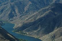
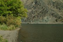
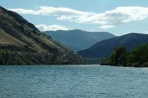
Hells Canyon Views / Snake River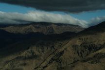
Road#050 towards Road#454
Hells Canyon Views / Snake River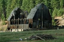
Jct. of Road#002 and Road#072
Near Cuprum, ID
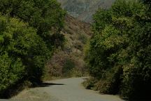
From Oxbow take Homestead Road.
(Last 4 miles of the road is narrow, with
limited pullouts)
Hells Canyon Trail 8 miles
Homestead 4 miles
Halfway 17 miles
Park Campground. $2.00
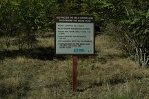
It is you responsibility to know
what fire restrictions are in place.
Axe, shovel, and bucket required
for dispersed camping.
Also see: BOULDER PARK
Also see: BOUNDARY CAMPGROUND
Also see: BUCK
CREEK
Also see: BUCKHORN
CAMPGROUND
Also see: HAT POINT
Also see: HEAVENS GATE
Also see: HELLS
CANYON OVERLOOK
Also see: HOMESTEAD ROAD
Also see: LOSTINE RIVER
Also see: McCULLY FORKS
Also see: NORTH FORK IMNAHA RIVER
Also see: PITTSBURG
LANDING
Also see: TWIN LAKES
Google custom map by Ian with most of
the free campgrounds in Oregon.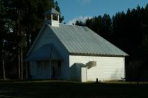
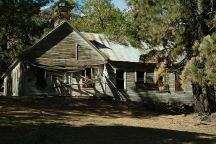
School House from early 1900's
Bear, Idaho / Payette NF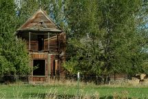
Old House on Snake River Road
About 1 mile south from Richland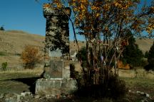
Chief Joseph Gravesite
Joseph, Oregon
Complete free campground listing
Free camping and campgrounds
OREGON CAMPGROUND DIRECTORY
HOMESTEAD ROAD
AIRSTRIP CAMPSITE
BOB CREEK CAMPSITE
COPPER CREEK CAMPSITE
WESTFALL CAMPSITE
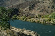
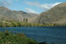
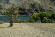
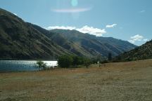
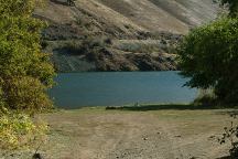
HELLS CANYON and SNAKE RIVER


