|
|


|
Free camping and campgrounds |
|
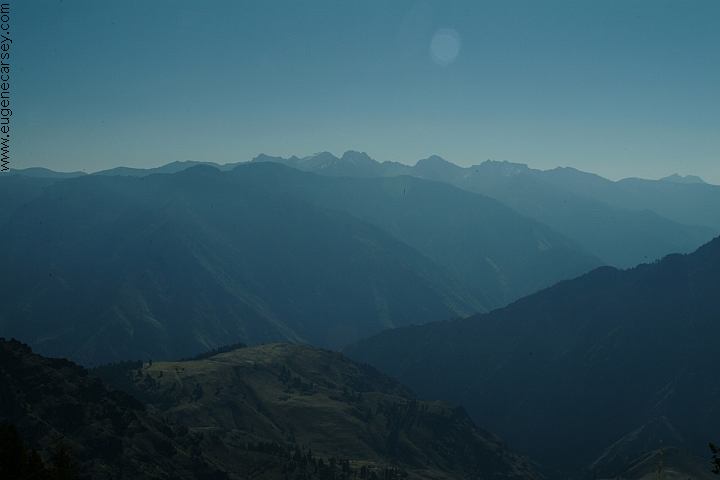
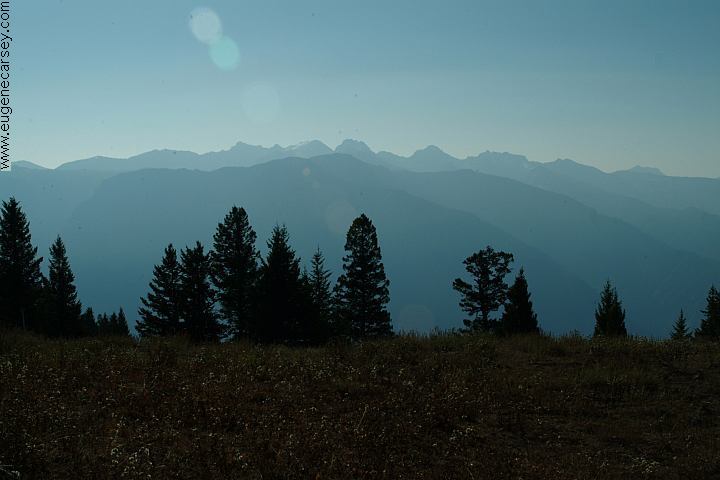
Feeling like your on top of the
|
|
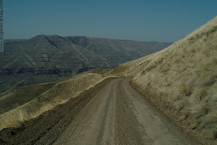
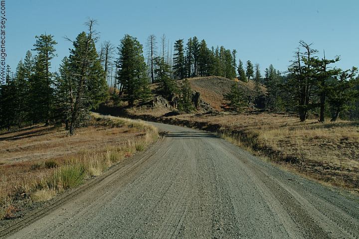
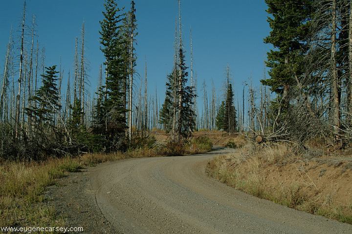
Driving on the road towards Hat Point
5 MILE VIEWPOINT
SADDLE CREEK CAMPGROUND
HAT POINT OVERLOOK |


SACAJAWEA CAMPGROUND BEWARE: Evel Knievel attempted to jump the These elk have tags in their ears and walked WALLOWA-WHITMAN
NATIONAL FOREST DIRECTIONS: ROAD CONDITIONS: Distance from Imnaha Drinking water at Wallowa Lake SP Showers at Wallowa Lake State Camped here May 22, 2005 Elevation 7000' FIRE RESTRICTIONS Also see: BALM CREEK
RESERVOIR OREGON FREE CAMPGROUND MAP Great design and workmanship, but the CAMPGROUND INDEX dispersedcampgrounds.com

Near Hat Point
Road#325 towards Sacajawea Campground
Road#325 towards to Sacajawea Campground
Free dispersed campground...
Heliport
Heliport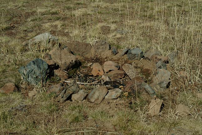
Heliport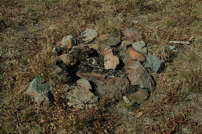
Heliport
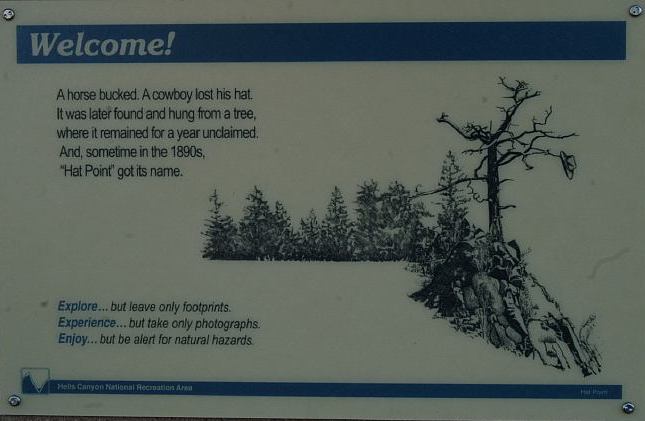
Natural Hazards in Hells Canyon
Rattle Snakes and Black Widow Spiders
Poison Ivy
Extreme Weather Conditions
Steep and Rugged Terrain
Strong Currents
Limited Drinking Water
Wilderness Ahead...
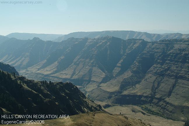
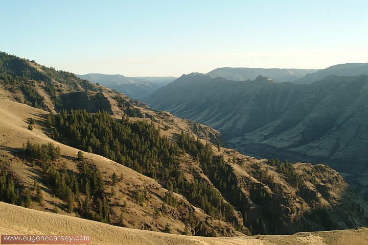
Snake River Canyon / Hells Canyon
in a rocket-powered motorcycle. An
American Hero... this jump seemed
more commercialized and impossible.
Sept. 8, 1974
http://www.evelknievel.com
Tagged Elk
right up to the car.
Campgrounds and Information...
Enterprise, Oregon to Joseph
Road#350 to Imnaha (Imnaha River Road)
Follow signs towards Hat Point (Road#4240).
Dirt and gravel surfaces
The road is narrow and steep
Not suitable for trailers
Memaloose 22 miles
Hat Point Lookout 24 miles
Joseph 30 miles
Imnaha, Oregon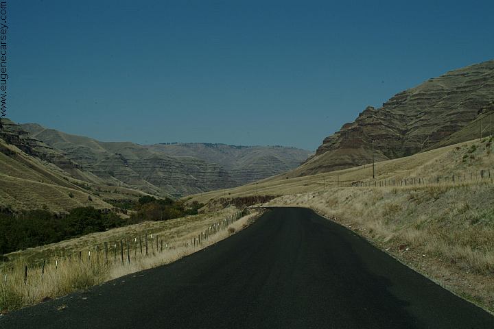
Road#735 near Imnaha, OR
Wallowa Lake
(Riverside Picnic Area)
Park Campground. $2.00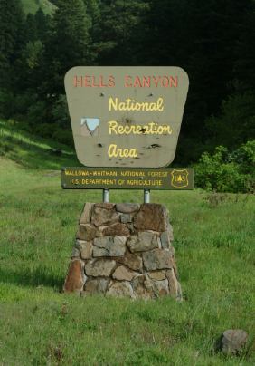
Hells Canyon National Recreation Area
There was a full moon that
filled the sky that night.
Camped here Sept.29, 2006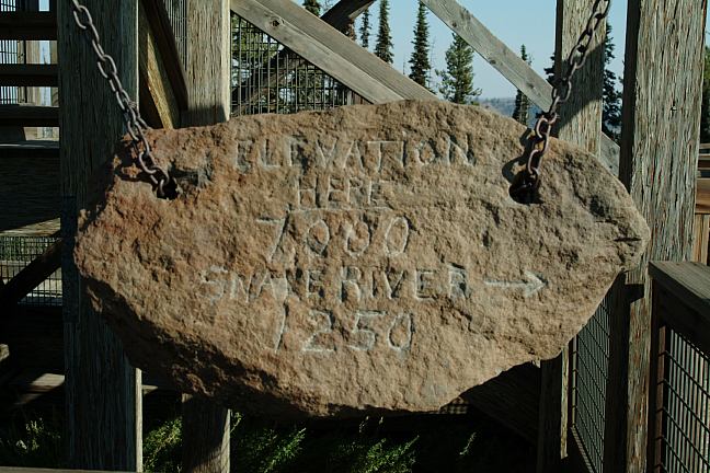
Hand Carved Elevation Sign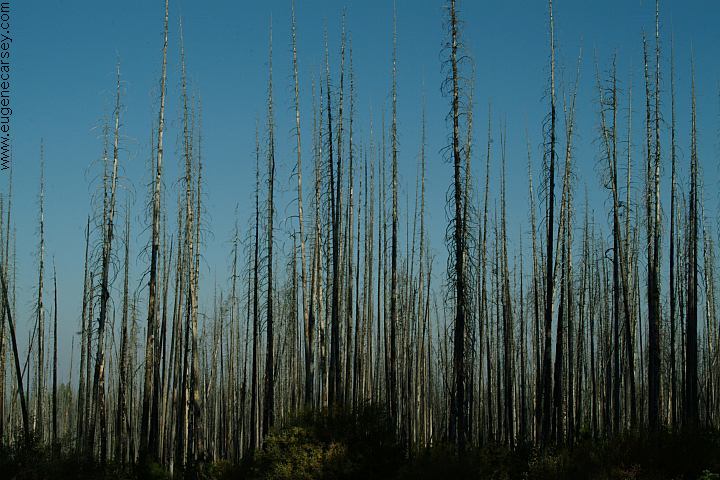
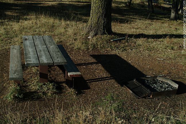
Saddle Creek Campground
It is your responsibility to know what fire
restrictions are in effect. A shovel, ax, and
5 gallons of water may be required. Leather
gloves and fire extinguisher recommended.
Also see: BOULDER PARK
Also see: BOUNDARY CAMPGROUND
Also see: BUCK
CREEK
Also see: BUCKHORN
CAMPGROUND
Also see: HEAVENS GATE
Also see: HELLS
CANYON OVERLOOK
Also see: HOMESTEAD ROAD
Also see: LOSTINE RIVER
Also see: McCULLY FORKS
Also see: NORTH FORK IMNAHA RIVER
Also see: PITTSBURG
LANDING
Also see: TWIN LAKES
Google Custom Map by Ian
Google custom map by Ian with most of
the free campgrounds in Oregon.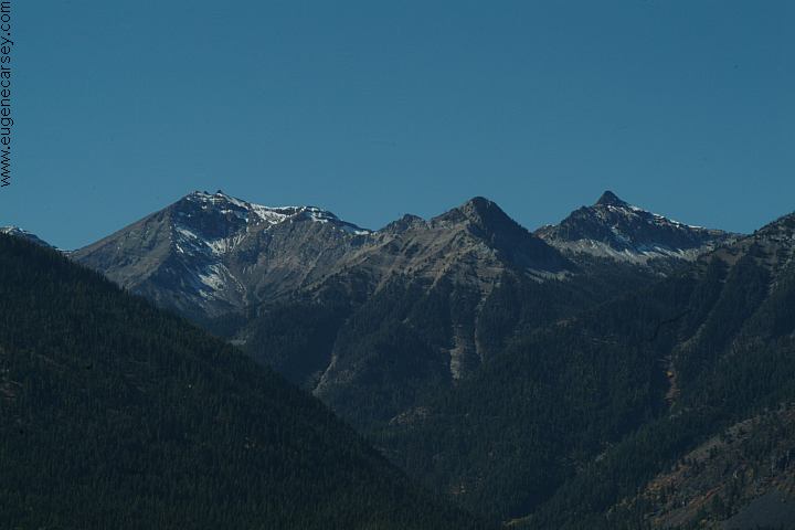
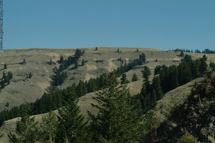
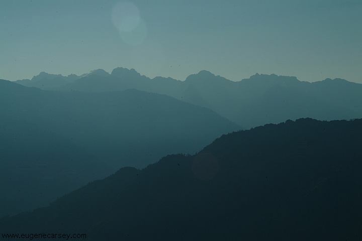
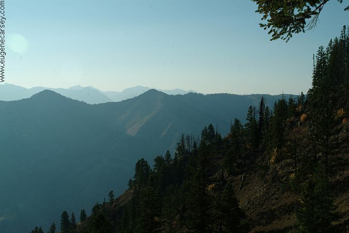
Mountain Views from Enterprise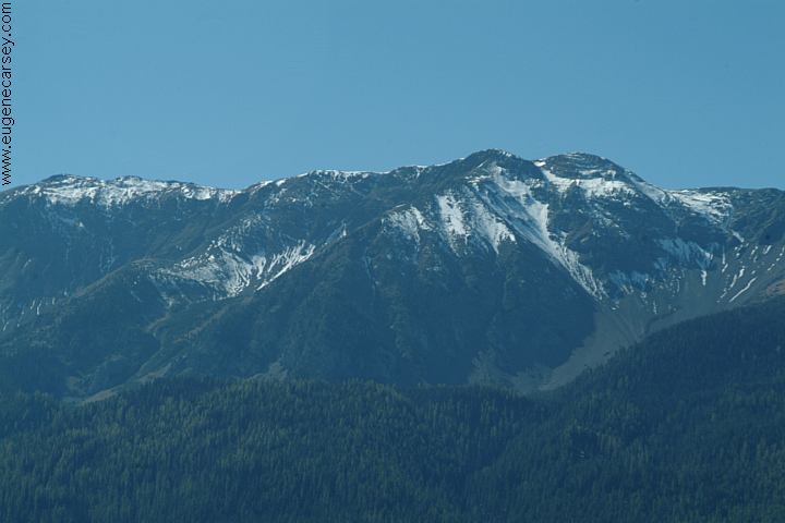
Mountain Views from Enterprise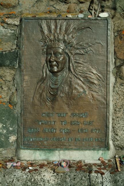
Plaque on Chief Joseph Gravesite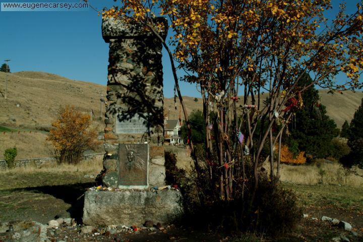
Chief Joseph Gravesite
Chief Joseph Gravesite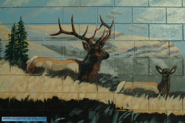
Mural on side of building
Joseph, OR
Silo in Joseph
Saddle Creek Campground
Saddle Creek Campground
Saddle Creek Campground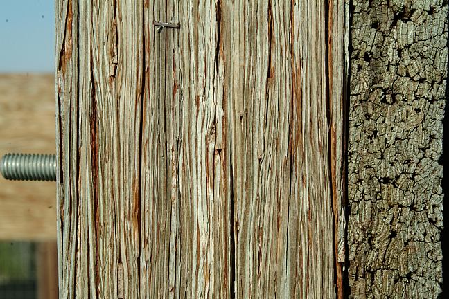
Hat Point Fire Lookout
lowest quality materials.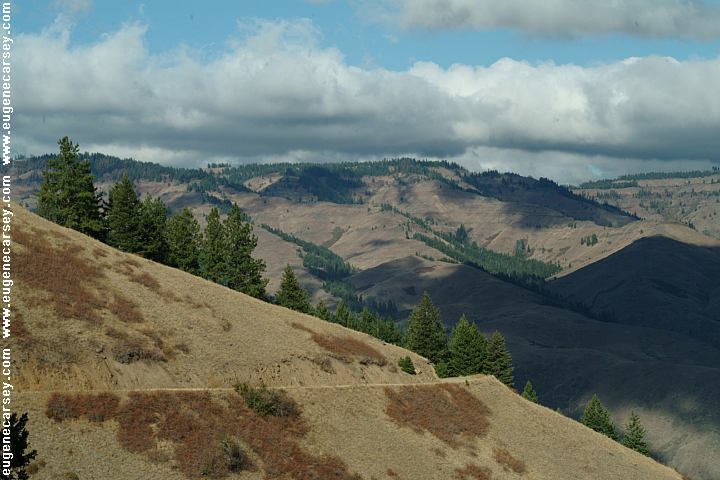
Payette NF Road#050 towards Road#454
Kleinschmidt Grade. This is a narrow road
with steep grades. Start at the top and take
this road downhill. Not recommended for RV's.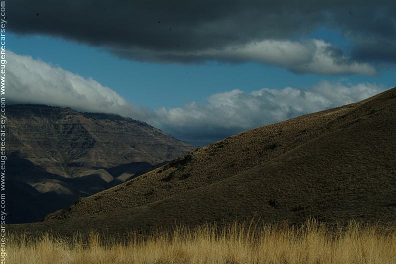
Payette NF Road#050 towards Road#454
Hells Canyon Views / Snake River
Complete free campground listing
Free camping and campgrounds
OREGON CAMPGROUND DIRECTORY
WALLOWA-WHITMAN NATIONAL FOREST
HELLS CANYON NATIONAL REC. AREA
HAT POINT LOOKOUT
