|
|


|
Free campgrounds and camping |
Picnic Tables
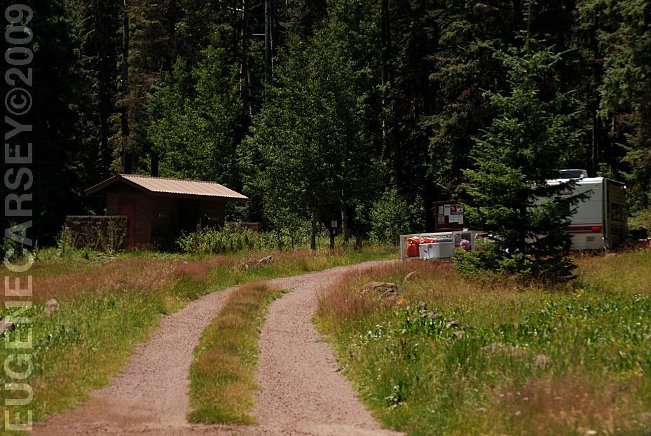
KP Cienega Campground
Pond near KP Cienega Campground
Metal Firerings
Vaulted Toilet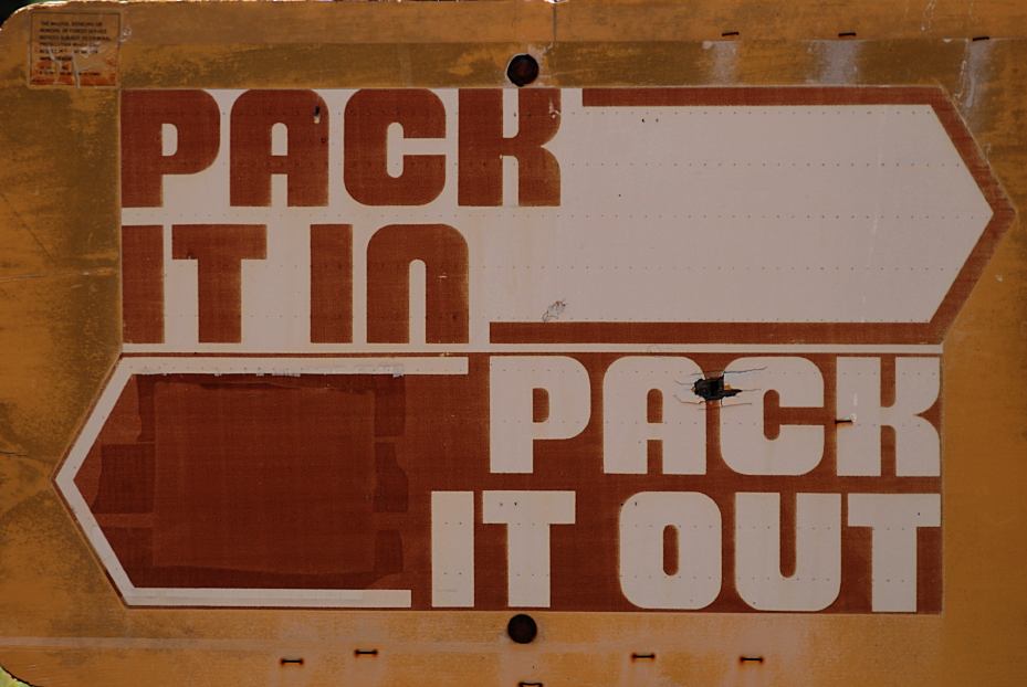
Pack It In, Pack It Out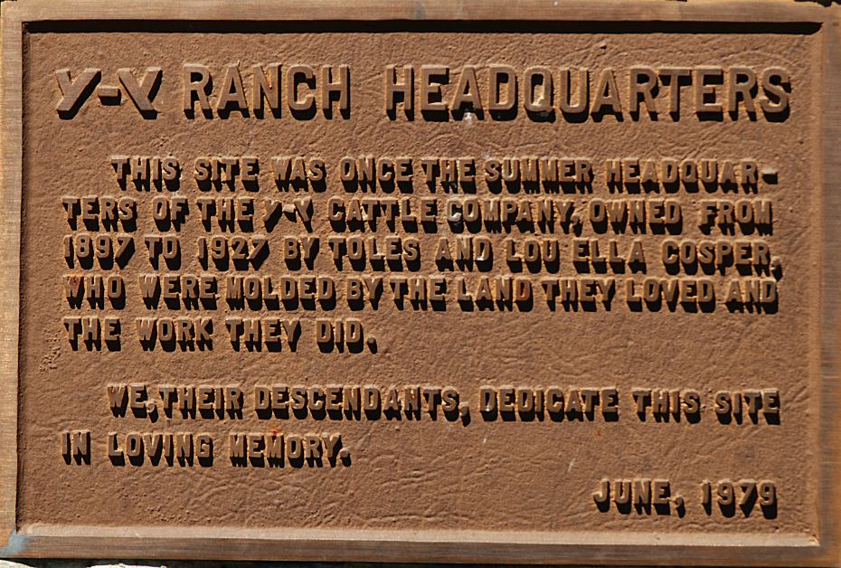
Plaque at KP Cienega Campground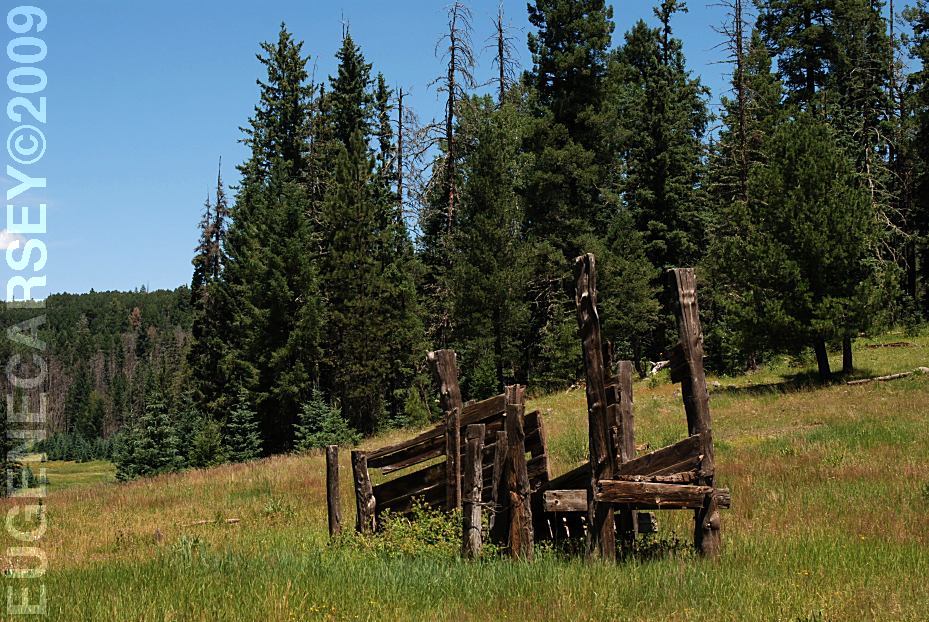
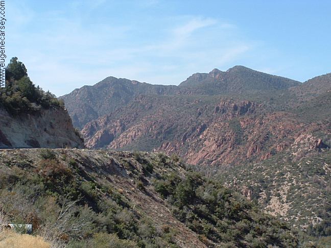
Views from KP Cienega Campground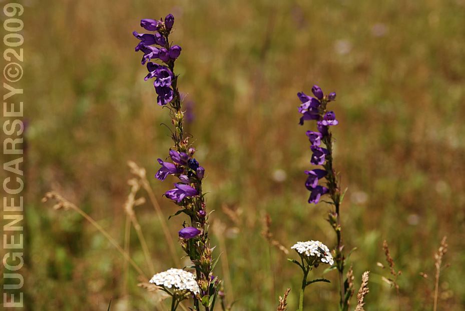
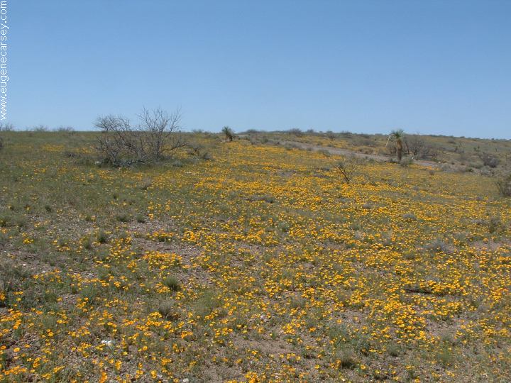
Wildflowers at KP Cienega Campground
DIRECTIONS: From Eager, AZ ROAD CONDITIONS: Know the weather forecast and be prepared. ESTABLISHED CAMPGROUNDS RATTLESNAKE
FACTS PHOTO HERE The mountain views are a replica of the Great The World's largest cooper mine???
Highway 191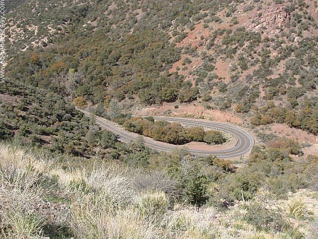
Sharp curves on Highway 191
From Tuscon, AZ
Take I-10 East / Exit #352
Hwy.191 north xx miles
(Through Safford and Cliford, AZ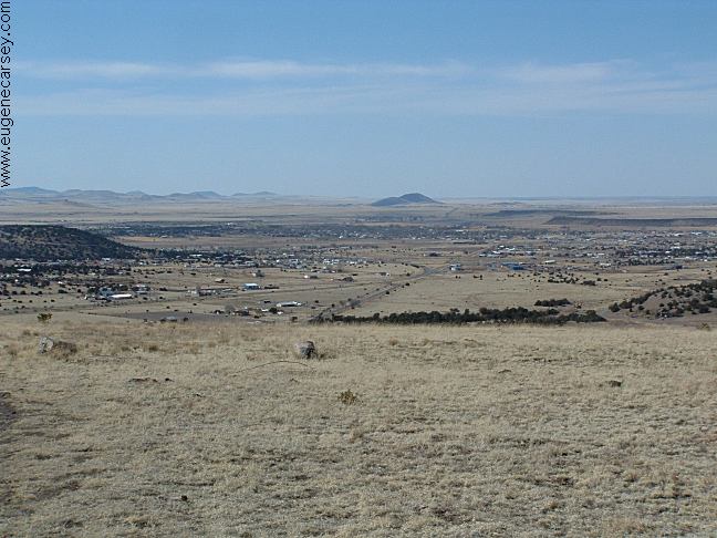
Eager, Arizona
Hwy.191 South for xx miles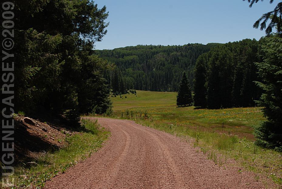
Dirt Road Towards KP Cienega Campground
Mountain grades and curves
Vehicles over 40' not recommended
Road #55 is a gravel surface...
Extreme winter conditions possible...
Established campgrounds in Apache NF
(These are free campgrounds)
EAST FORK BLACK
RIVER
GRANVILLE
CAMPGROUND
HANNAGEN MEADOW
JUAN MILLER
CAMPGROUND
KP CIENGA CAMPGROUND
PUEBLO PARK CAMPGROUND
STRAYHORSE
CAMPGROUND
UNKNOWN CAMPGROUND
UPPER BLUE
CAMPGROUND
We have seen several rattlesnakes in the area.
Mostly they were crossing the road and didn't
pose a threat.
Blue Vista on Hwy.191
LATITUDE: N 33°33.889
LONGITUDE: W 109°21.210
Smokey Mountains and Blue Ridge Parkway
Feels like you could be standing in Tennessee.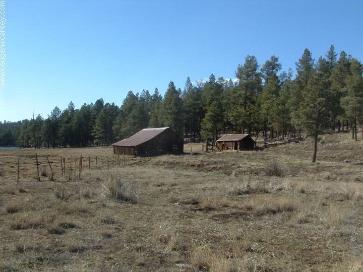
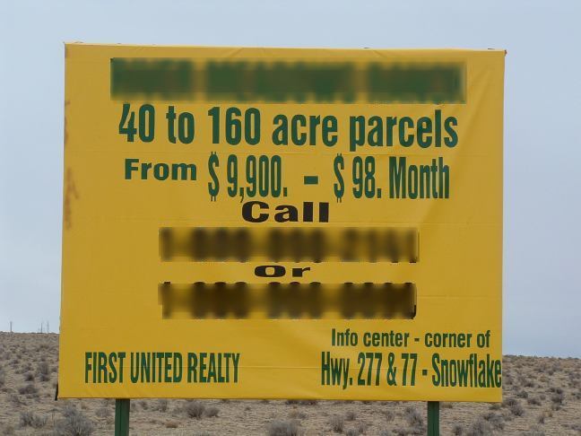
Beaverhead Ranch
Morenci Mine
|
PHOTO HERE PHOTO HERE Also see: BISTI WILDERNESS
CAMPGROUND INDEX Campground photos from August 5, 2009 dispersedcampgrounds.comFree campgrounds and camping ARIZONA CAMPGROUND DIRECTORY APACHE NATIONAL FOREST KP CIENEGA CAMPGROUND |