|
|


|
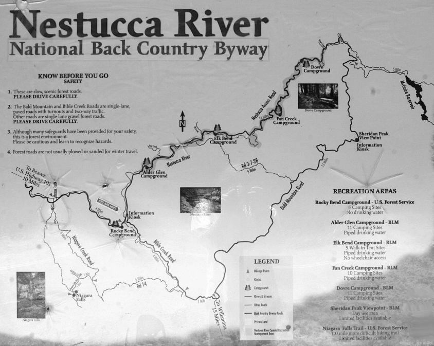
Free camping and campgrounds
|
|
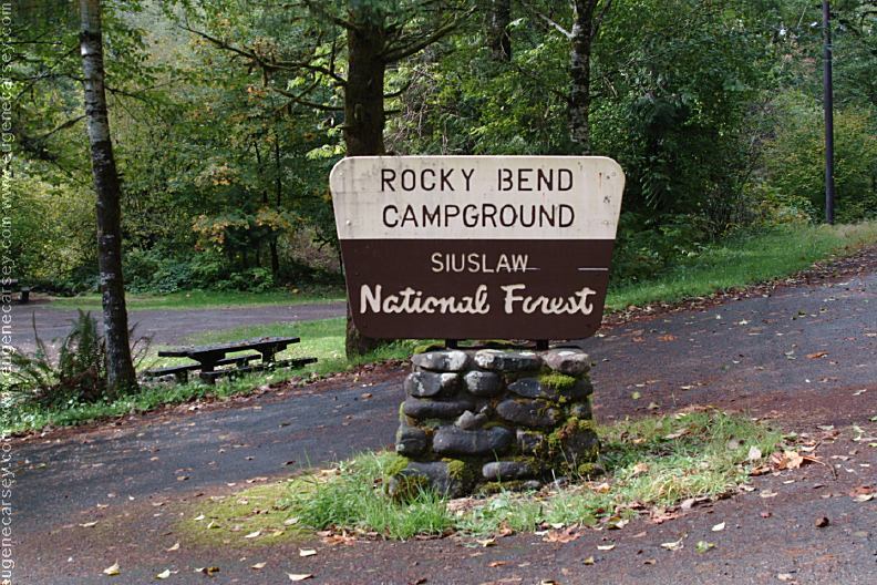
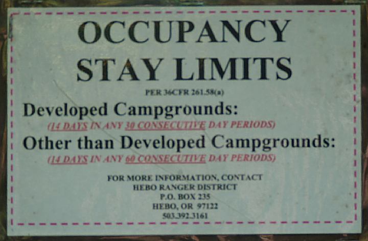
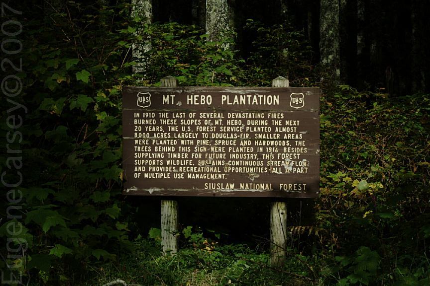
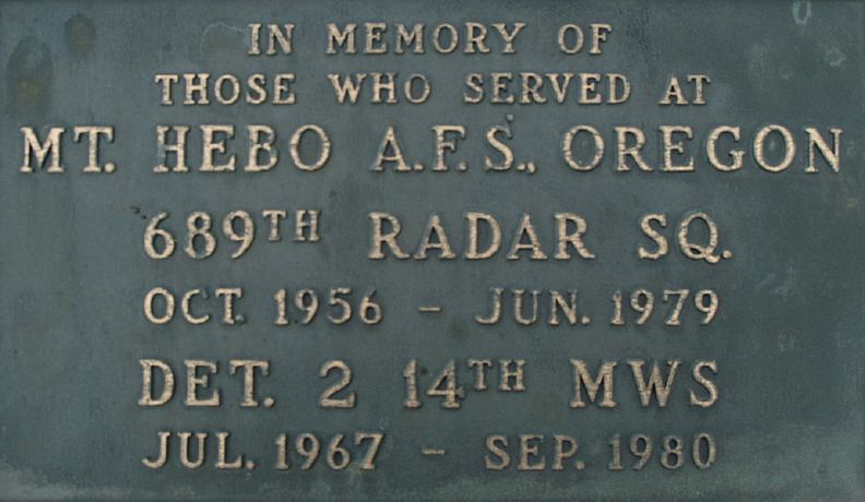
Siuslaw National Forest
Occupancy Stay Limits
|

|
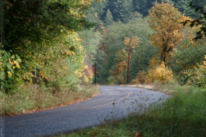
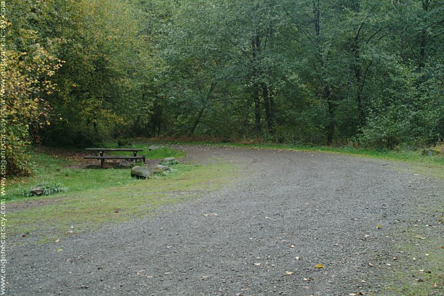
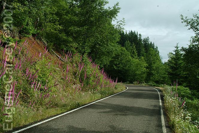
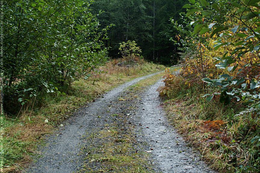
Bald Mountain Road is single lane with pullouts.
NESTUCCA ACCESS ROAD See: BALD MOUNTAIN ROAD
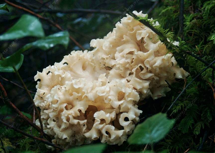
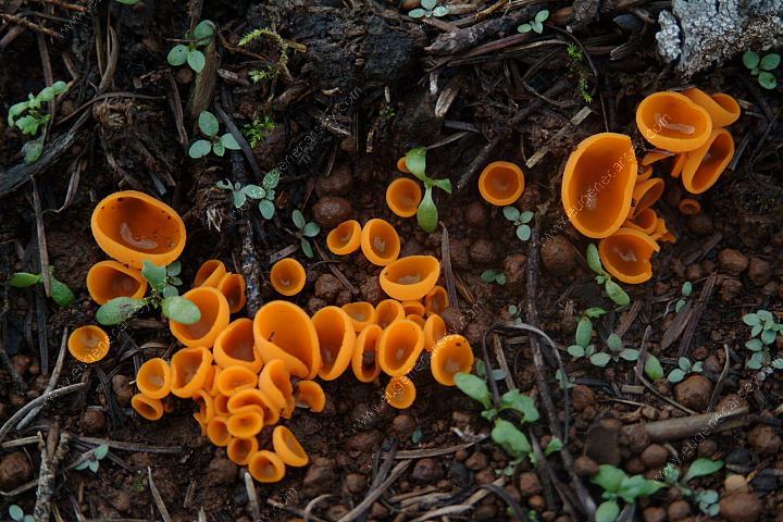
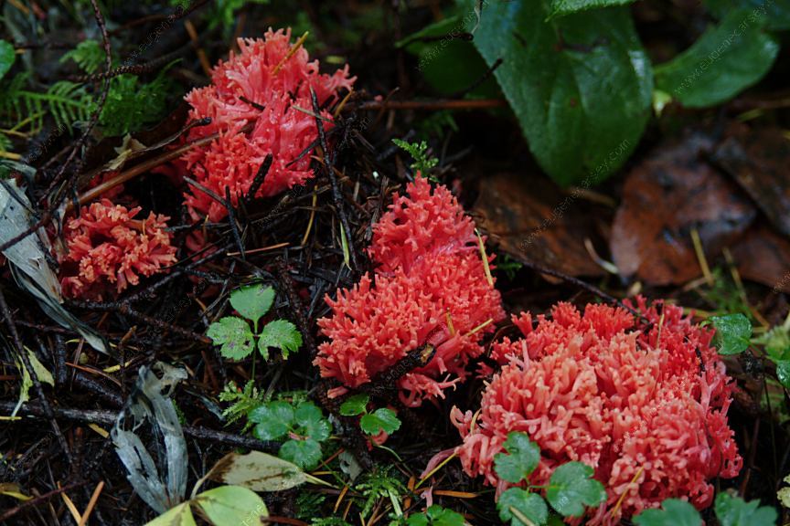
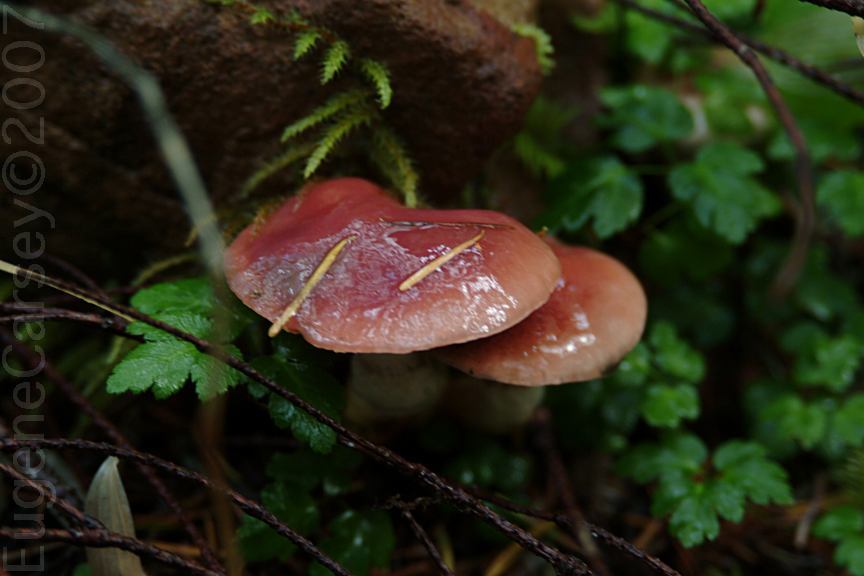
Someone once said that mushrooms are
|


|
BIBLE CREEK ROAD ESTABLISHED CAMPGROUNDS: PHOTO HERE ALDER GLEN CAMPGROUND (BLM Fee Area) PHOTO HERE ELK BEND CAMPGROUND (BLM Fee Area) PHOTO HERE FAN CREEK CAMPGROUND (BLM Fee Area) PHOTO HERE DOVRE CAMPGROUND (BLM Fee Area)
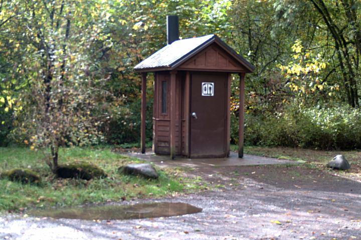
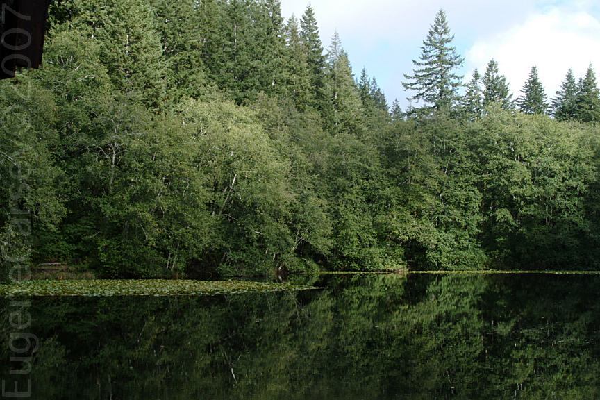
HEBO LAKE CAMPGROUND (Fee Area)
|


|
DIRECTIONS: From Salem ROAD CONDITIONS: Water at most of the established campgrounds
Siuslaw National Forest Map WEATHER CONDITIONS:
Also see: BALD MOUNTAIN ROAD
OREGON FREE CAMPGROUND MAP
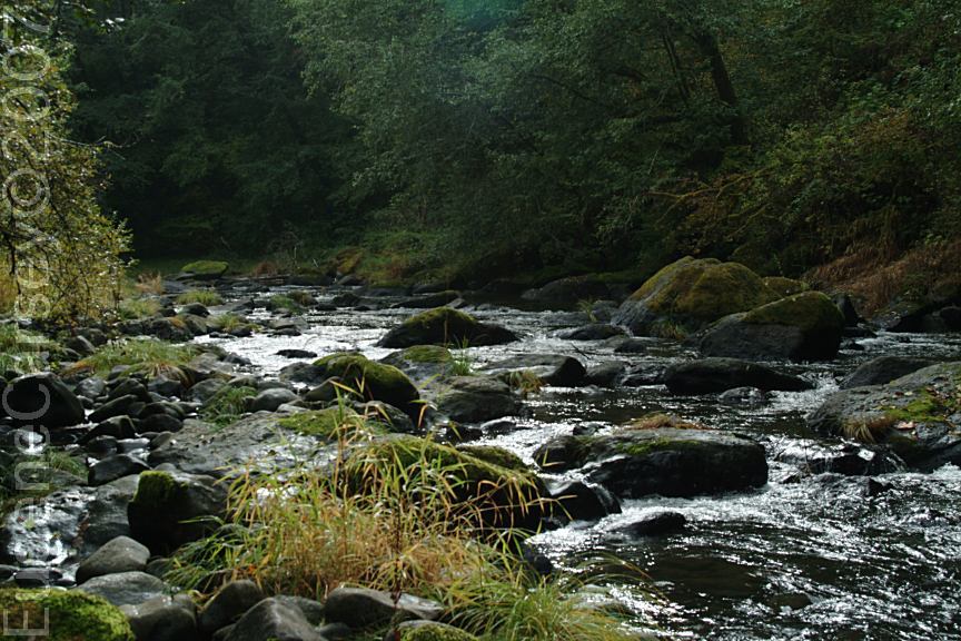
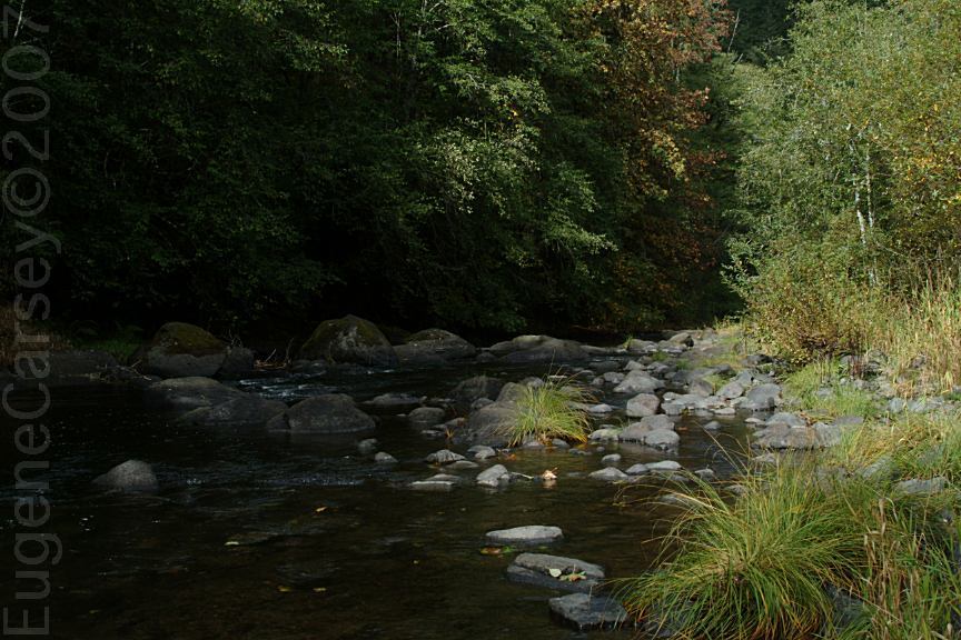
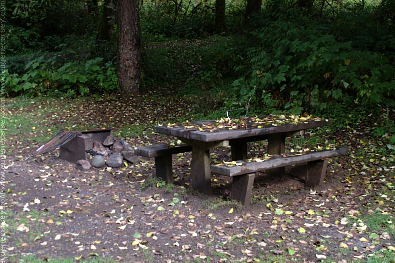
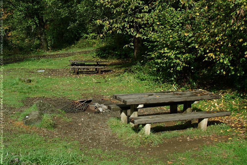
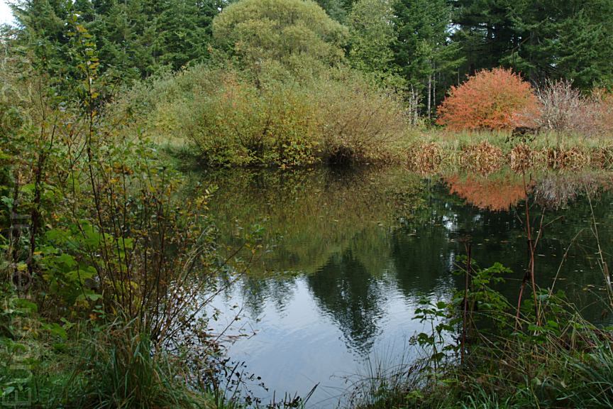
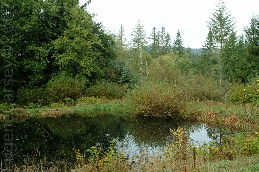
Camped here Oct. 10, 2007
CAMPGROUND INDEX
dispersedcampgrounds.com |