|
MORE TOURIST ATTRACTIONS:
Things to do and see in Christmas Valley
and the surrounding area.
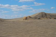
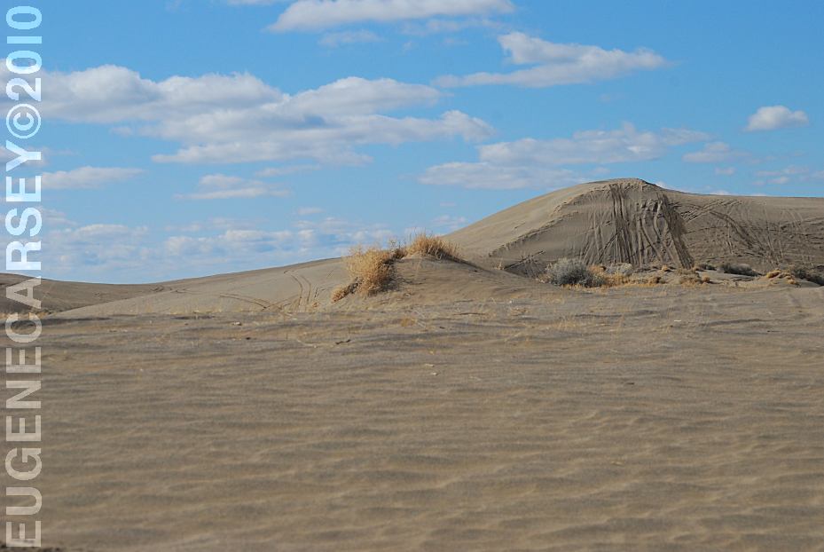
Christmas Valley Sand Dunes
CHRISTMAS VALLEY SAND DUNES
LATITUDE: N 43°21.184
LONGITUDE: W 120°23.160
Elevation: 4300'
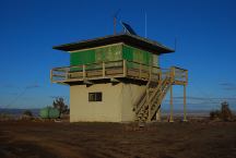
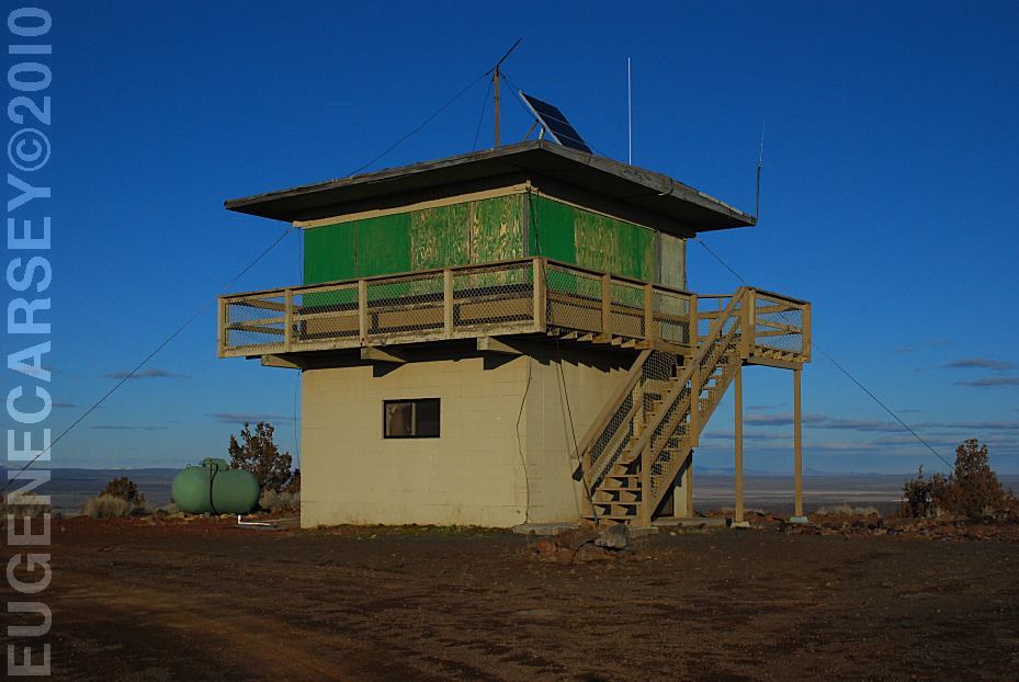
Green Mountain Lookout
GREEN MOUNTAIN CAMPGROUND
LATITUDE: N 43°23.160
LONGITUDE: W 120°43.370
Elevation: 5160'
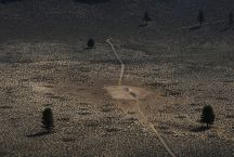
Hole In the Ground
HOLE IN THE GROUND
LATITUDE: N 43°24.775
LONGITUDE: W 121°12.321
(GPS from west rim of Hole In the Ground)
Highway 31 / MP 22
Take Road 3125 for 3 miles
Take Road 3130 for 1 mile
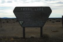
Sign at Fossil Lake
FOSSIL LAKE
LATITUDE: N 43°19.977
LONGITUDE: W 120°28.780
ELEVATION: 4289'
(GPS from sign at end of 5 Acre Road)
From Christmas Valley take Road 5-14
Take Fossil Lake Road 8 miles
Take Road 5-14E for 2 miles
Take 5 Acre Road for 1 1/4 mile
About 5 minute walk to Fossil Lake
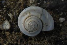
Fossil at Fossil Lake
Fossil Lake has been important for scientific
study since 1877 when fossils were first collected
here. Paleontologists have identified 23 species of
mammals, 74 species of birds, 6 species of fish,
and 6 species of mollusk from their fossils. These
fossils are from 10,000 to 2,000,000 years old
(Pleistocene Era) creatures which lived here included
horses, camels, ground sloths, mammoths, flamingos,
pelicans, swans, salmon, and snails.
This area was the bottom of ancient Fort Rock Lake, a
vast lake 200 feet deep when the climate became more arid.
The lake dried up animals that swam in the lake and walked
the shores remain today as the fossils which gave the area
it's name.
To protect these fragile remains the Bureau Of Land
Management has closed 6,540 acres to all vehicles.
Please comply with the closure and help protect this
irreplaceable legacy. You are welcome to explore on
foot, but the antiquities act of 1906 prohibits the
collection of fossils to preserve scientific values.
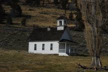
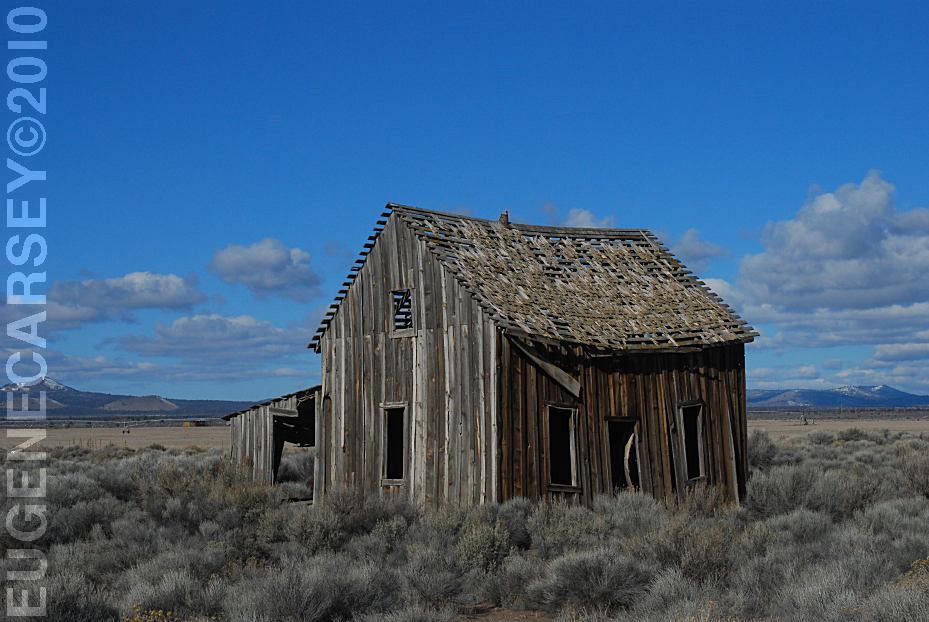
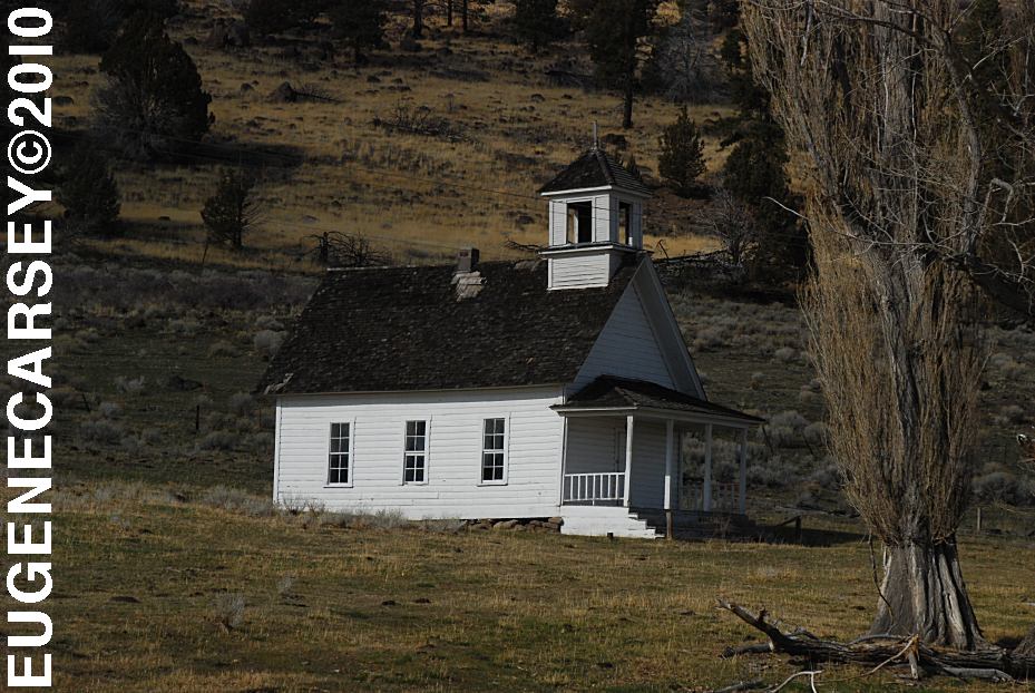
Harris Schoolhouse
South from Summer Lake, OR
Highway 31 near MP 74
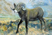
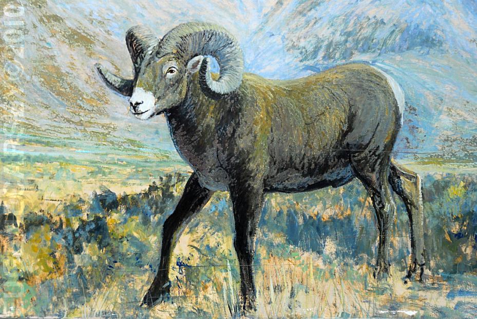
Big Horn Painting at Scenic Byway Kiosk
Highway 31 near MP 70
Across from Summer Lake Store
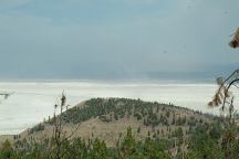
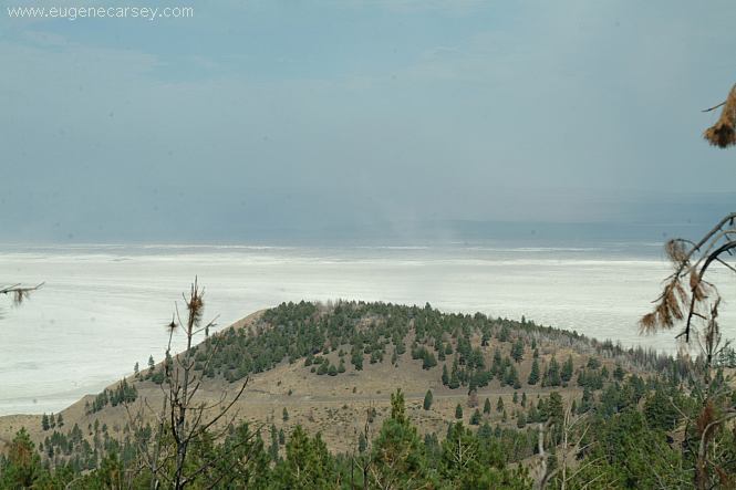
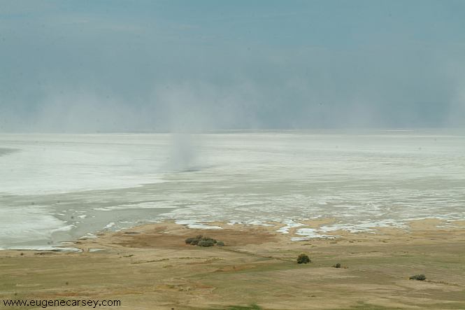
Summer Lake is mostly a Salt Flat
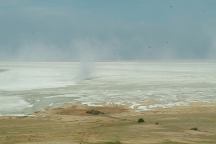
Summer Lake
This day the winds were kicking up a dust
storm.
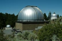
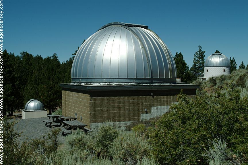
Pine Mountain Observatory
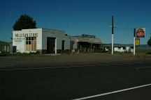
Millican
We have bought gas here in the past,
now is Millican is becoming a Ghost Town.
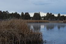
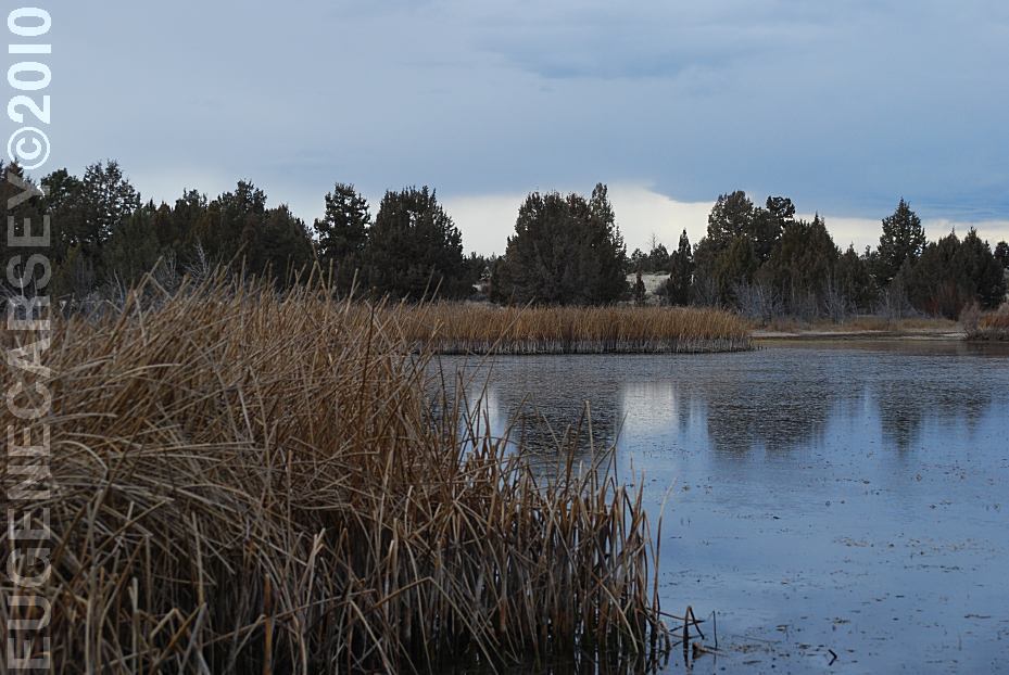
Mayfield Pond
MAYFIELD
POND RECREATION AREA
LATITUDE: N 44°04.980
LONGITUDE: W 121°07.830
Elevation: 3290'
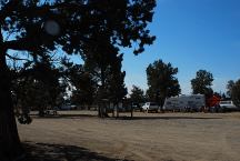
Millican Valley OHV
Four Corners Staging Area
MILLICAN
VALLEY OHV AREA
LATITUDE: N 44°03.777
LONGITUDE: W 120°54.545
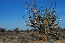
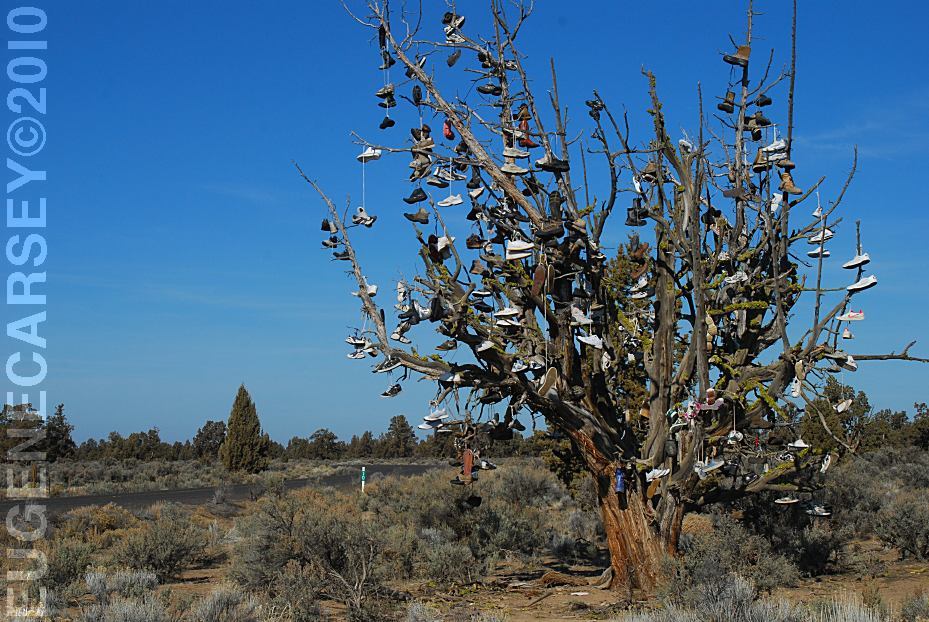
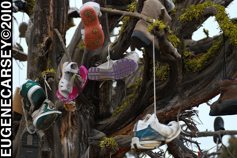
Tree covered with shoes on SW Reservoir Road
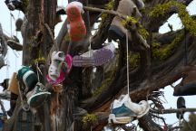
Tree covered with shoes on SW Reservoir Road
TREE COVERED WITH SHOES
LATITUDE: N 44°04.484
LONGITUDE: W 120°56.963
SW Reservoir Road / MP 10
3 1/2 miles past Alfalfa Store
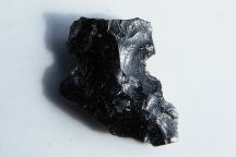
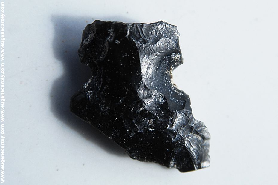
Broken Arrowhead near Fossil Lake
It is a federal crime to collect or disturb artifacts,
even a broken arrowhead.
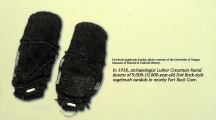
Fort Rock Sagebrush Sandals.
In 1938, archaeologist Luther Cressman found
dozens of 9,000 - 10,000 year old sagebrush
sandals in Fort Rock Cave.
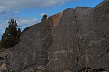
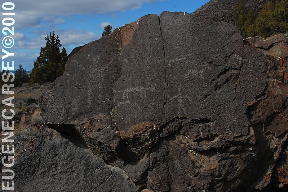
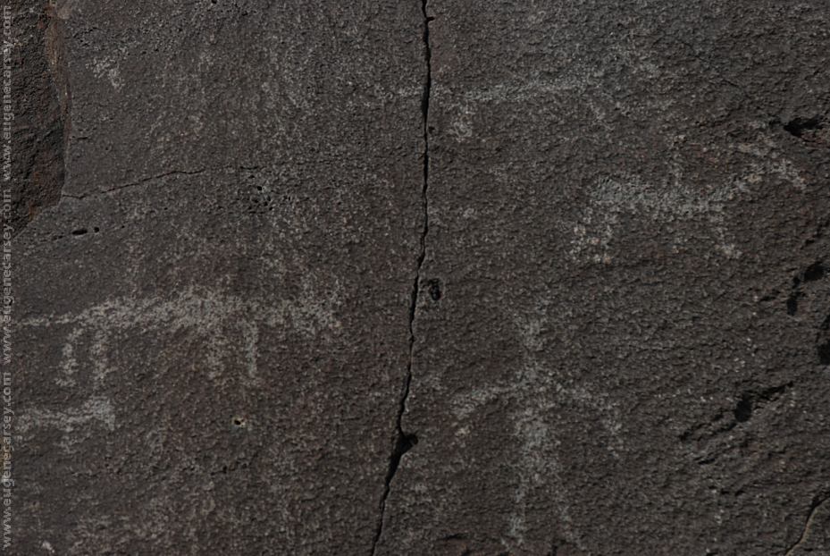
Picture Rock Pass Petroglyphs
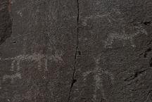
These petroglyphs are used for most of the
tourist brochures and information guides in
Lake County.
PICTURE ROCK PASS PETROGLYPHS
LATITUDE: N 43°02.880
LONGITUDE: W 120°48.020
Petroglyphs on Highway 31 / MP 63
Six miles north from Summer Lake, OR
There are more petroglyphs in the area.
CAMPGROUND INDEX
Complete free campground listing
CAMPING ADVICE AND TIPS
TOURIST
PHOTOS

www.eugenecarsey.com
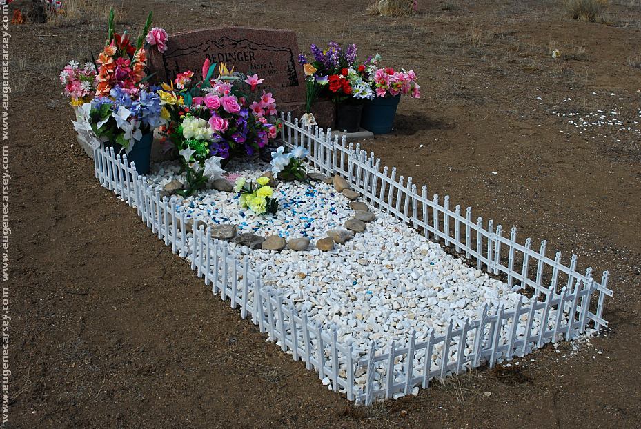
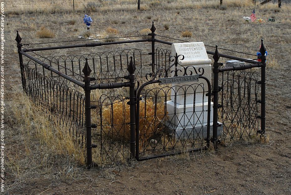
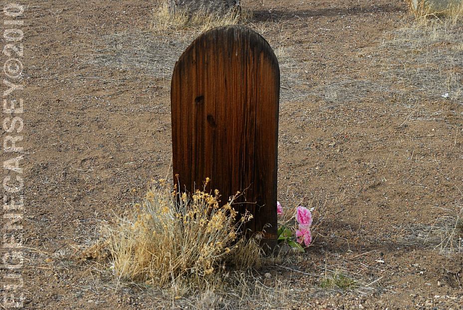
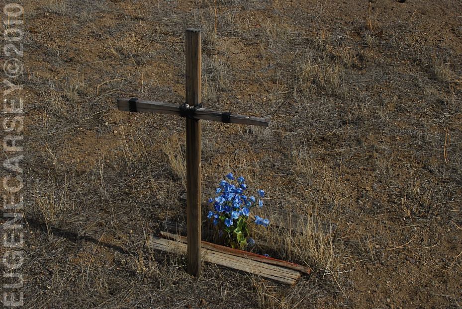
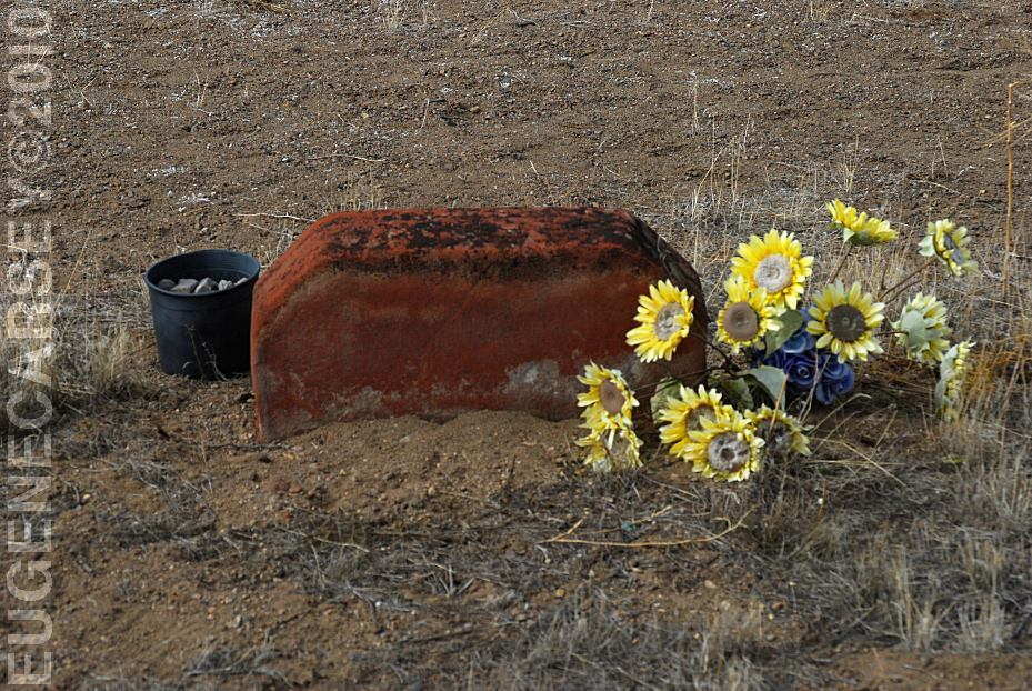
FORT ROCK CEMETERY
|