|
|


|
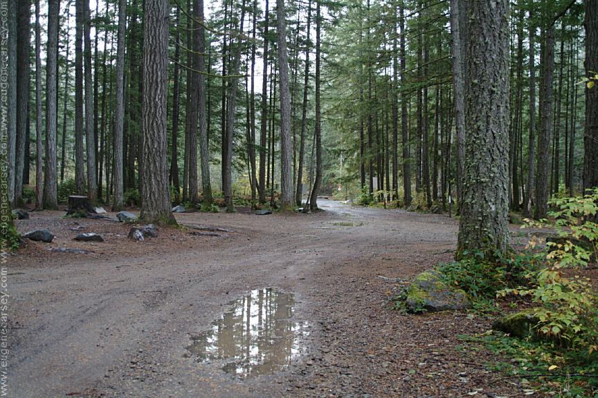
Free campgrounds and camping
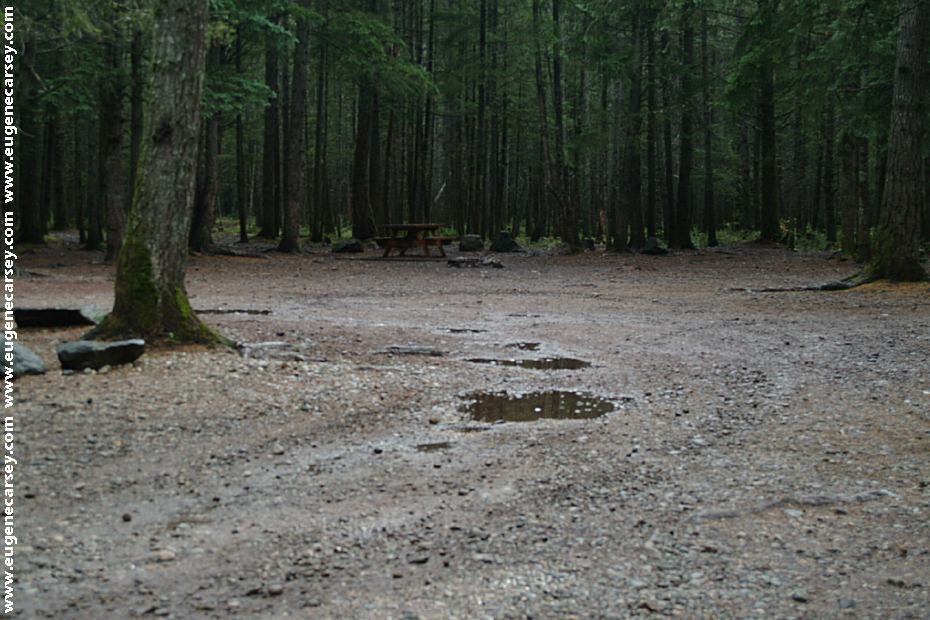
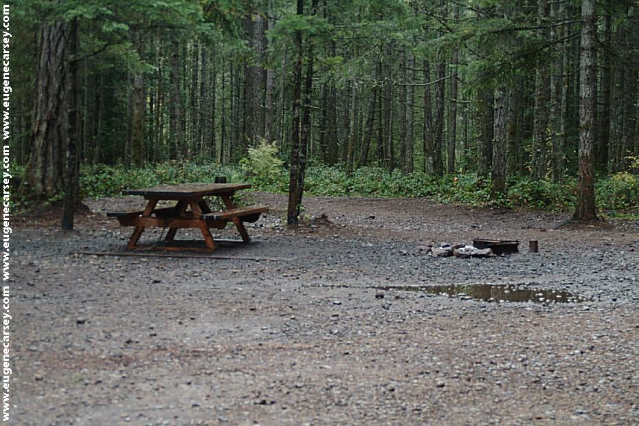
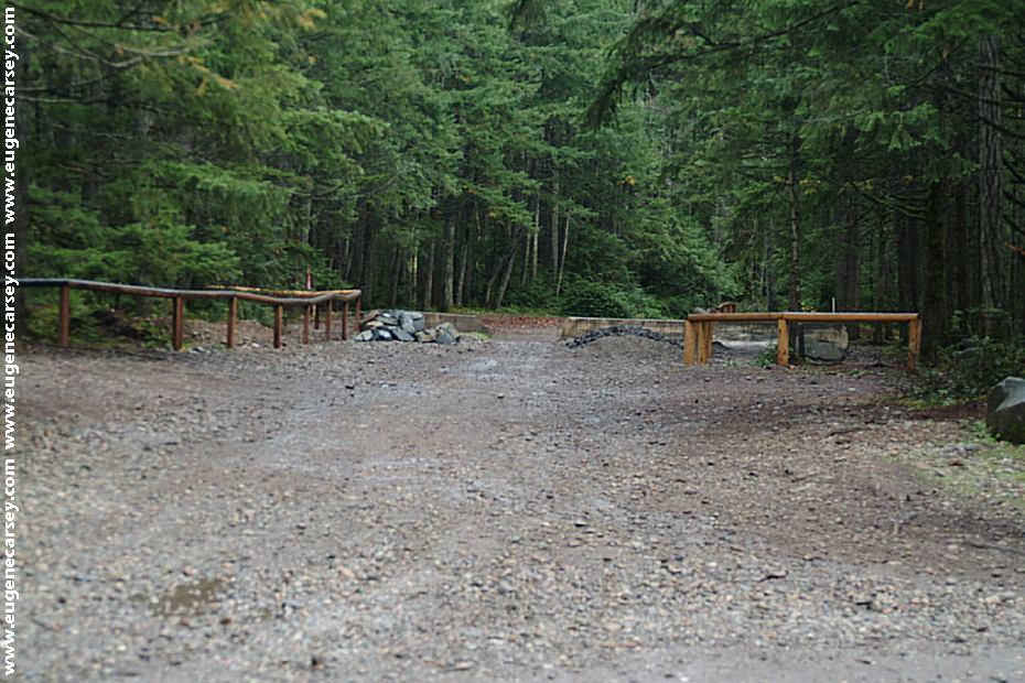
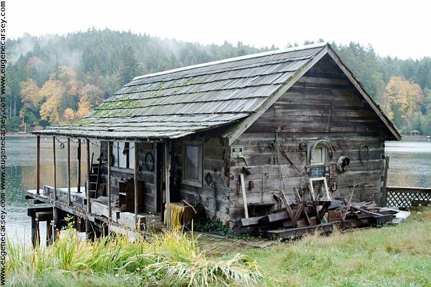
Not the greatest campground in the world...
|
|
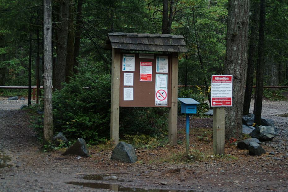
Campground is kind of hidden...
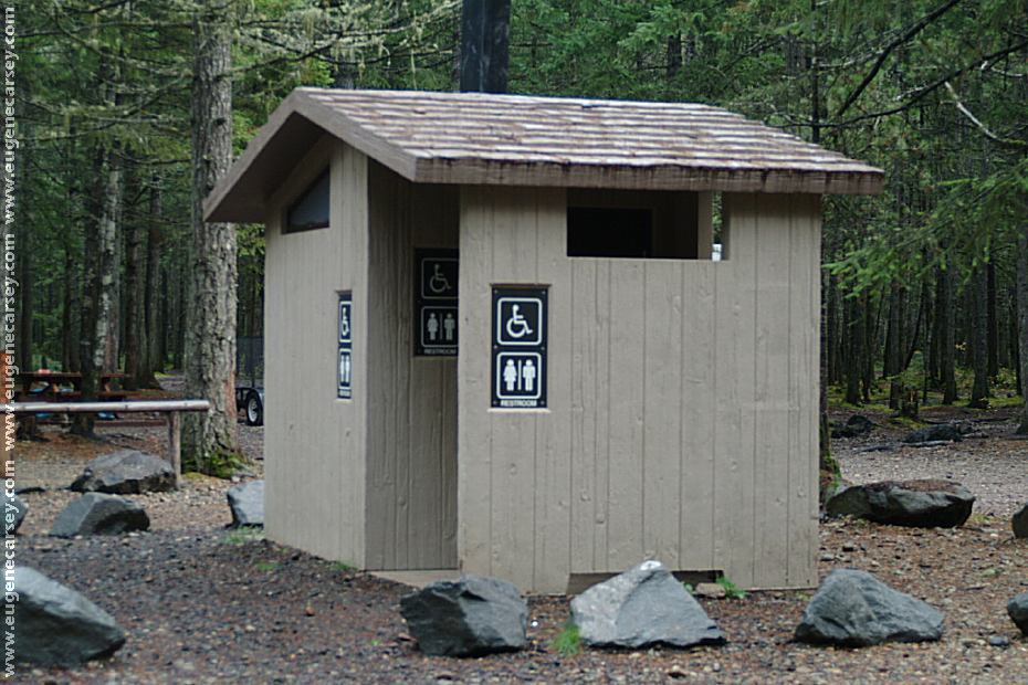
Picnic tables, metal firerings, and outhouse
|

|
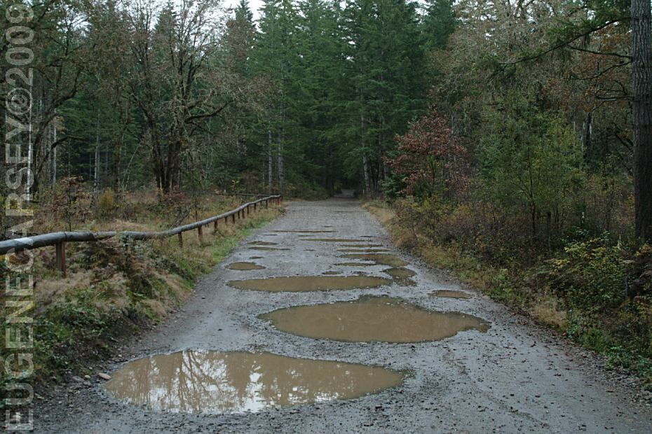
DIRECTIONS:
NOISE LEVEL: |


|
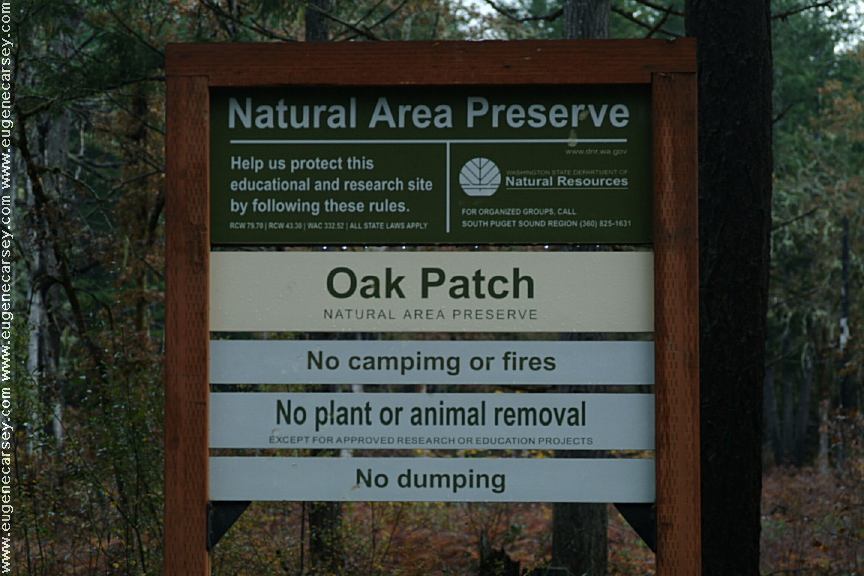
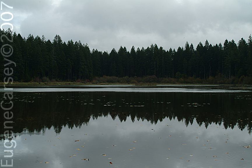
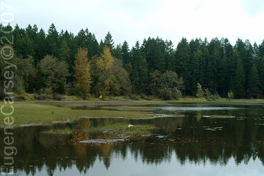
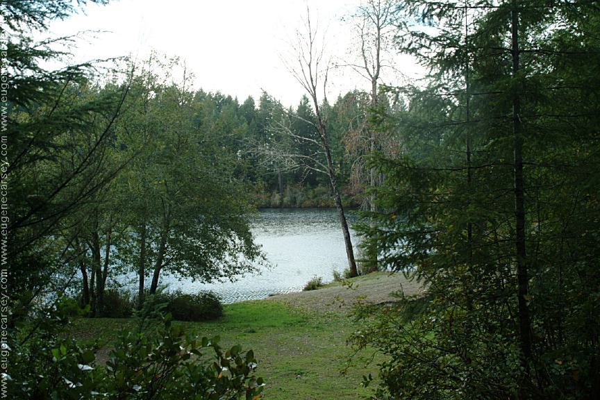
OAK PATCH LAKE
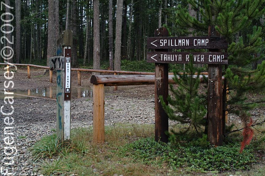
CAMP SPILLMAN
ALDRICH LAKE
Drinking water at Scenic Beach State Park Drinking water at Belfair State Park...
|


CAMPGROUND INDEX dispersedcampgrounds.com
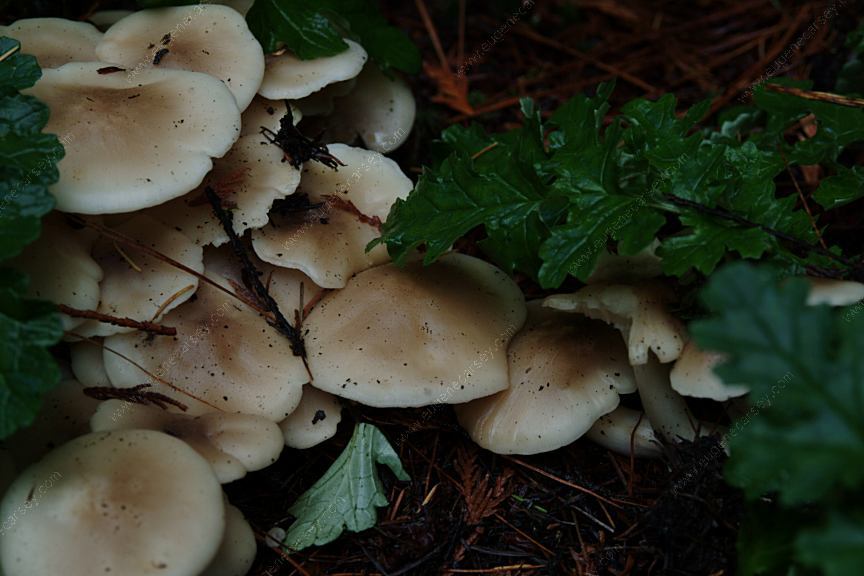
Mushrooms at Scenic Beach Campground

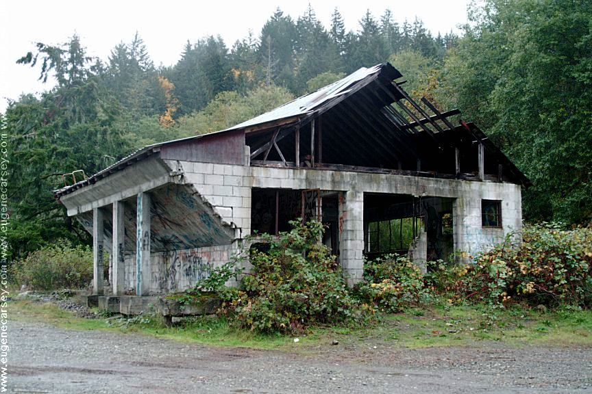
What a better place to dispose of vehicle tires.
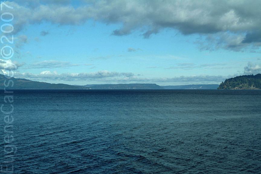
Oak Patch Lake
Complete free campground listing
Free campgrounds and camping
WASHINGTON CAMPGROUND DIRECTORY
Washington Department of Natural Resources
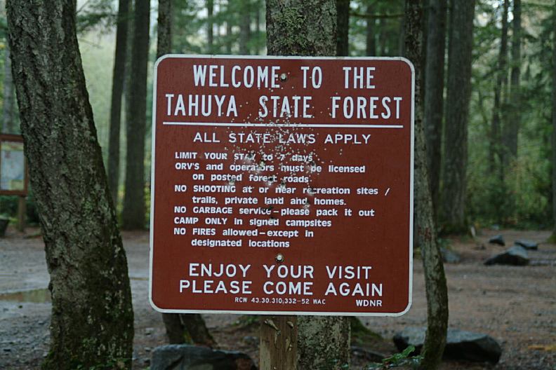
TAHUYA STATE FOREST
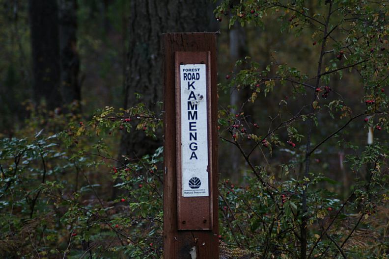
KAMMENGA CANYON CAMPGROUND
