|
|


|
Free campgrounds and camping |
|
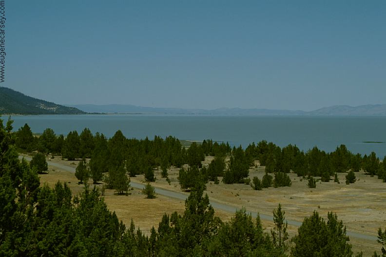
PHOTO HERE PHOTO HERE Dispersed camping along Parker Reservoir There are a couple dispersed campsites on About a dozen cars passed by during the day.
Mostly |
DIRECTIONS: ROAD CONDITIONS: MILEAGE CHART: Gerlach, NV 9 miles PHOTO HERE Also see: SQUAW VALLEY
RESERVOIR
From Reno, NV
Take Hwy.445 north towards Pyramid Lake
From Gerlach, NV
Take Route 447 north about 9 miles
From Cedarville, CA
Take Route 447 south about 74 miles
Turn left on Sand Pass Road
Maintained gravel surface.
Extreme dust in dry season
(From Route 447 and Sand Pass Road)
Reno, NV
Eagleville, CA
Cedarville, CA
116 miles
59 miles
74 miles
Pyramid Lake
Camped here June 19, 2008 CAMPGROUND INDEX dispersedcampgrounds.com
Road#73 towards Goose Lake
Complete free campground listing
Free campgrounds and camping
NEVADA CAMPGROUND DIRECTORY
SMOKE CREEK DESERT
SAND PASS ROAD
PARKER RESERVOIR
