FISH SLOUGH PETROGLYPHS
Petroglyphs on Fish Slough Road / Road#3V01
Small area with limited petroglyphs.
LATITUDE: N 37°30.796
LONGITUDE: W 118°24.897
(About 11 miles north from Bishop, CA)

Fish Slough Petroglyphs

Fish Slough Petroglyphs

Fish Slough Petroglyphs

Fish Slough Petroglyphs

Natural Arch
Several natural arches in the rock formations
at Fish Slough Petroglyphs

Lizzard
Lizard posed for a photo...

Rabbit
Rabbit was kind of friendly...

We only saw one other person all day...
Saturday June 9, 2007

Ranch Area
Ranch area across from Fish Slough Petroglyphs

Best photos in the afternoon.
Some morning photos...

CHALFANT PETROGLYPHS
Petroglyphs on Hwy.6
About 17 miles north from Bishop.
LATITUDE: N 37°34.838
LONGITUDE: W 118°23.796

CHIDAGO PETROGLYPHS
Petroglyphs on Fish Slough Road / Road#3V01
LATITUDE: N 37°34.290
LONGITUDE: W 118°25.060
(About 15 miles north from Bishop, CA)

RED CANYON PETROGLYPHS
Petroglyphs at the junction of Chidago Canyon
Road and Fish Slough Road.
LATITUDE: N 37°39.058
LONGITUDE: W 118°26.133

Petroglyphs used for Target Practice
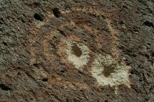
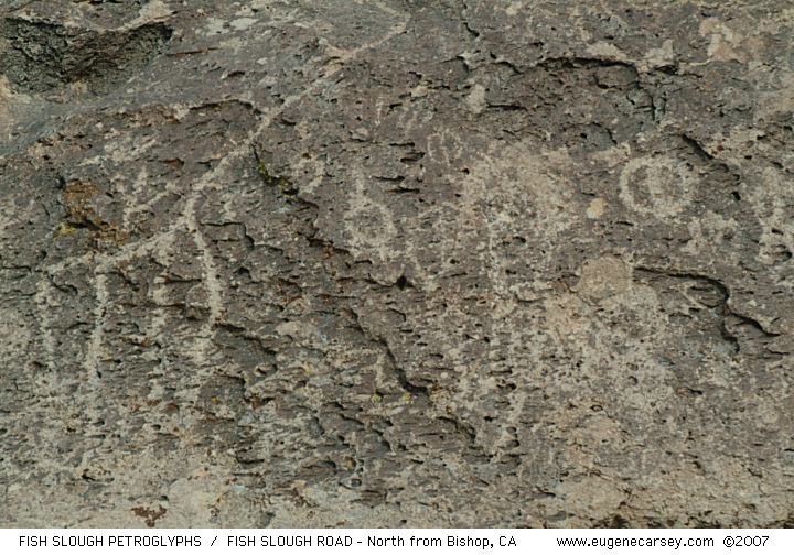
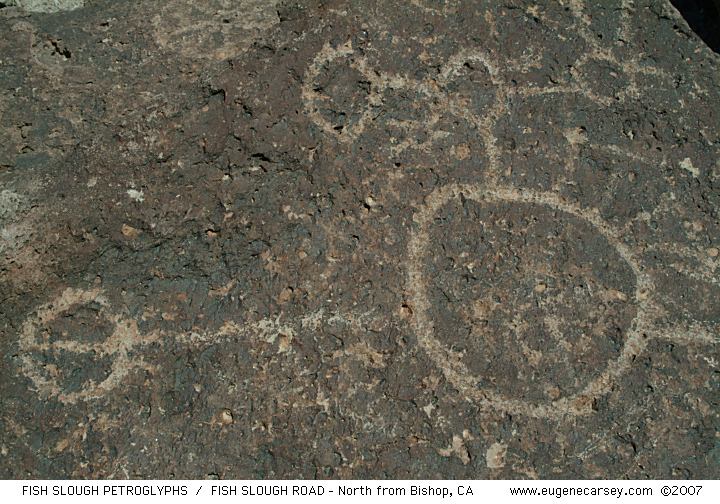
Petroglyphs used for target practice. That is
when they're not removing the petroglyphs
to sell on the Black Market. (Photo from
Fish Slough Petroglyphs)

Removal of Petroglyphs
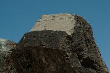
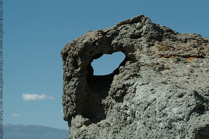
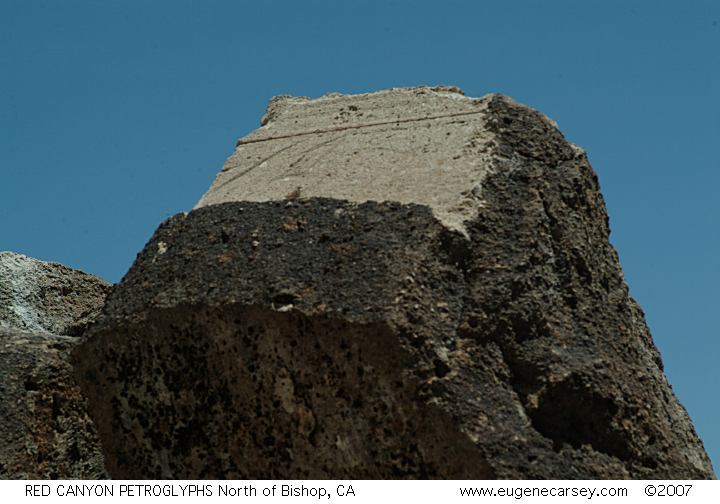
Removal of Petroglyphs... see saw blade marks.
(Photo from Red Canyon Petroglyphs)

DIRECTIONS:
From Bishop, CA
Take Hwy.6 north about 1.5 miles
Turn left on Five Bridges Road
Take Five Bridges about 2 miles
Turn right on Fish Slough Road
Fish Slough Petroglyph Site about 7 1/2 miles
Continue north on Fish Slough Road
and there are more Petroglyph Sites.

MORE DIRECTIONS:
Starting at Red Canyon Petroglyphs and heading
south on Fish Slough Road

From Bishop, CA
Take Highway 6 to Milepost#19
Turn on Chidago Canyon Road / Road#3S53
Red Canyon Petroglyphs are 3.5 miles
You will see them on the left. There is a parking
area with trails around the rock formations.
Keep going south on Fish Slough Road...

MAP
Personal hand drawn map
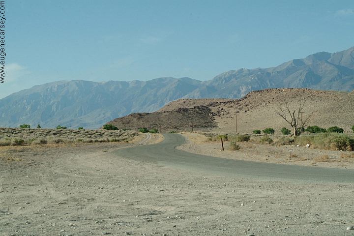
ROAD CONDITIONS:
Maintained dirt roads with wash boards.
There are some sandy areas.
Stay on the main roads

Five Bridges Road and Fish Slough Road
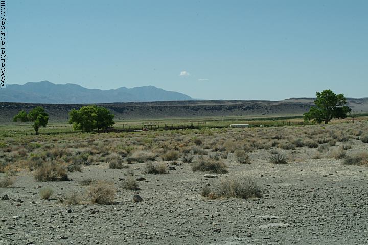
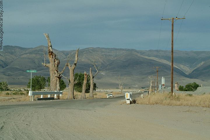
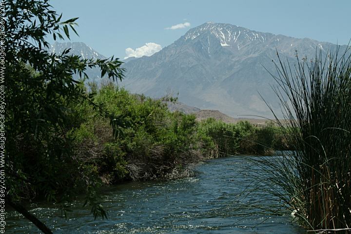
Trees and Desert Aggregates near the junction
of Five Bridges Road and Fish Slough Road

Five Bridges Road and Fish Slough Road
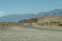
Fish Slough Road is paved a short distance
Photo at junction of Five Bridges Road.

Summer temperatures over 100 degrees
Be prepared and carry plenty of water.

ARCHES OF RED ROCK CANYON
Red Rock Canyon is just a couple miles west
from the main petroglyph site. There are natural
arches throughout the red rock formations...

Whitney Portal Arch
Whitney Portal Arch

ARCHES OF ALABAMA HILLS
There are hundreds of natural arches in
the Alabama Hills near Lone Pine, CA

INYO NATIONAL FOREST
Information including Free Campgrounds

Chalk Bluff Road
Chalk Bluff Road

Owens River
Owens River from Chalk Bluff Road

Drinking water at Pleasant Valley Campground.
Take Chalk Bluff Road to Pleasant Valley Road.
You will see a hand pump in main campground.

TOURIST PlHOTOS

CAMPGROUNDS IN THE USA
Free campgrounds in the USA

Copyright Notice
www.eugenecarsey.com

California Tourist Guide and Destinations
Things to do and see in California
Fish Slough Petroglyphs